LAKE POWELL TRIP - 1966

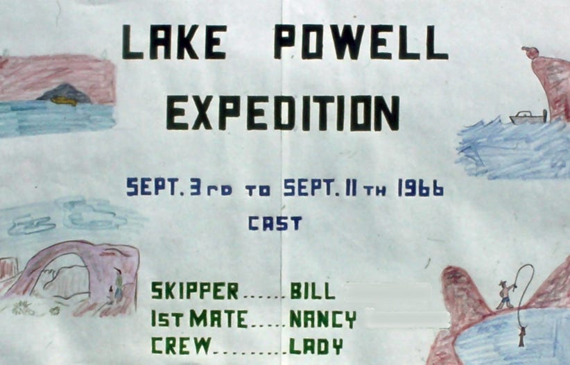
In 1963 we bought our first ski boat, a 16-foot Span American, and went on many water ski trips to lakes in California and Lake Mead in Nevada.
In 1957 the Glen Canyon Dam started construction and it was completed in 1964. Lake Powell was formed by the Glen Canyon Dam, the second largest man-made lake on the American continent. It is more than 160 miles long and contains 1,800 miles of shoreline. Ninety-one major canyons meander from the main channel. At Glen Canyon Dam the water is 409 feet deep, and at Rainbow Bridge, the depth is 80 feet.
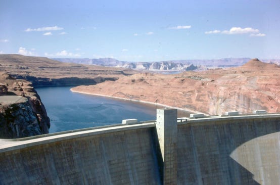
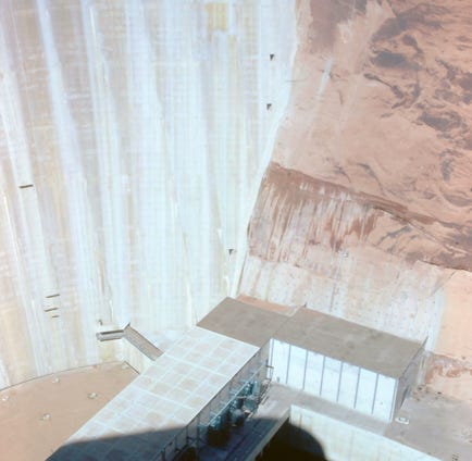
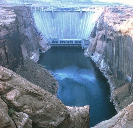
Glen Canyon Dam is the largest arch-type dam in the world, this huge concrete structure created Lake Powell and controls its waters. It is 710 feet high from its foundation, rising visibly above the Colorado River at 580 feet. The eight generators can produce 900,00 kilowatts of electric power.
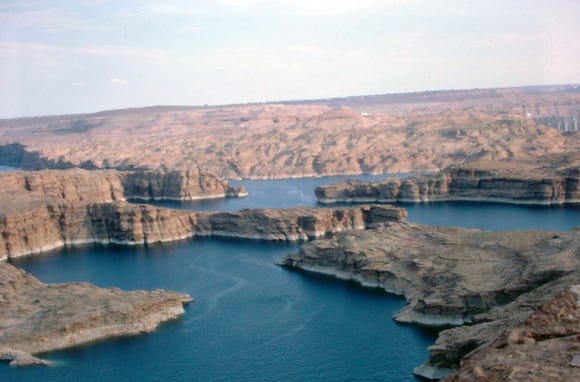
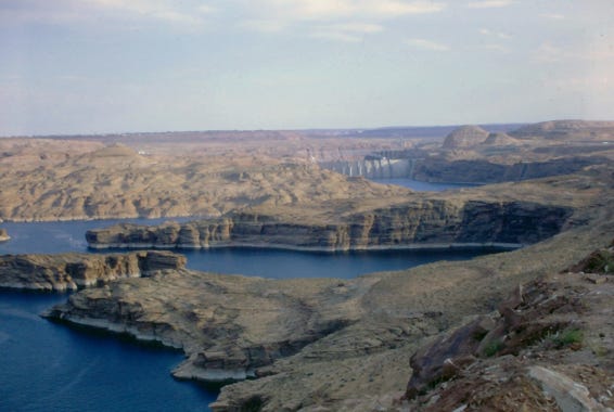
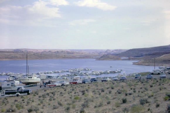
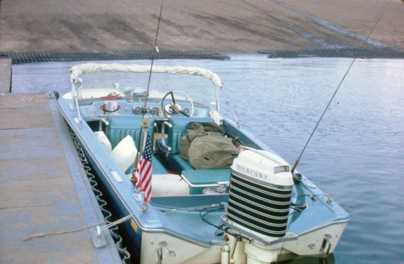
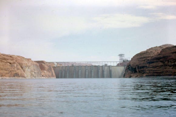
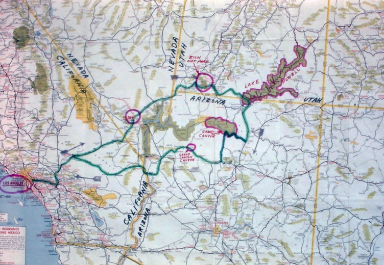
In 1966 we decided to take a week-long trip over the Labor Day Holiday and drive from Los Angeles, California to Page, Arizona, and Wahweap Marina. The elevation of Lake Powell is 3,500 feet.
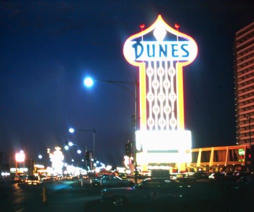
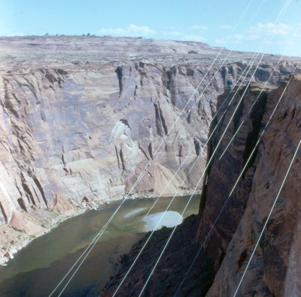
We stopped at the Dunes in Las Vegas and Bill tried his luck on the roulette wheel for an hour and then on our way with our dog Lady I in the car. A view of the dam that has 5 million cubic yards of concrete, with 475-ton generators. The deep gorge below with the Colorado River flowing south, several views of the winding canyons of Lake Powell.
This is Wahweap Marina back in 1966. We took about an hour loading the boat and filled four 5-gallon gas cans for the long 50-mile trip to Rainbow Bridge, and our first gas stop. When we put the four 5-gallons of gas cans in the bow of the boat it was sitting very low so we had to be careful not to have large waves go over the bow of the boat.
In our boat looking at the dam as we head to Navajo Canyon for our first night on Lake Powell.
To plan our trip we knew that we wanted our boat to be completely enclosed when we slept at night. This was in case of thunderstorms, or to keep our dog from jumping out of the boat at night. Since we do a lot of backpacking in the High Sierras of California we took a small portable propane burner stove and cookware along with dehydrated food.
More than 134 miles of Lake Powell’s main channel shoreline parallel the Navajo Indian Reservation which is home to 110,000 Navajos, the largest Indian reservation in the nation.
As we approach “The Narrows,” a slim portion of Lake Powell’s main channel begins at Glen Canyon Dam and extends to the mouth of Labyrinth Canyon, a distance of some 13 miles. When the weather is windy, or when there is a great amount of boat activity in the Narrows, small boats become unstable and there is no place to get to shore, so they recommend going early in the morning when it is calm.
We got through the area okay and went into Navajo Canyon for our first-night camping on Lake Powell.
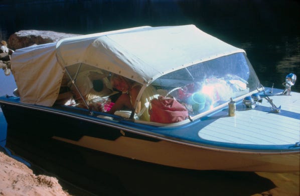
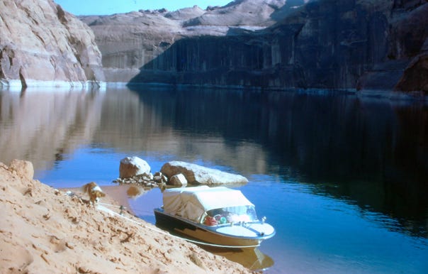
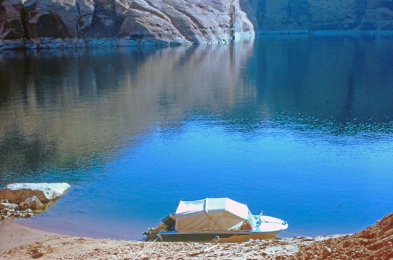

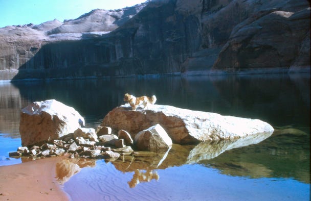
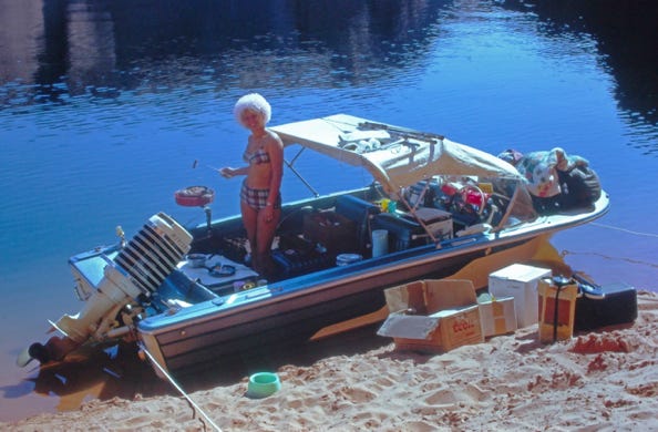
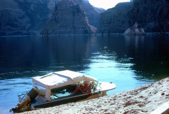
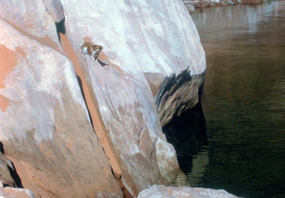
Our first morning in Navajo Canyon, with the boat with its full enclosure. Nancy is cooking breakfast over a charcoal grill and Lady is exploring the rocky cliff.
The shoreline in Navajo Canyon is very steep and when we boated into the canyon at dusk we took the first cove that we thought would be good for the night.
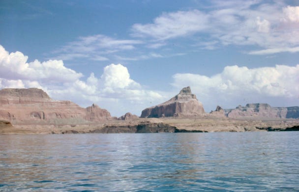
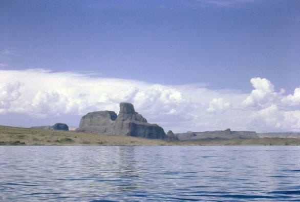
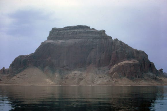
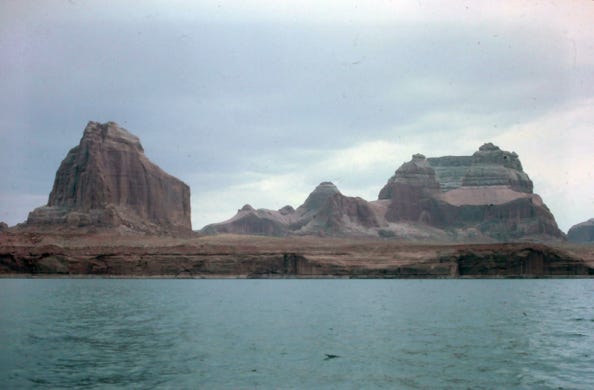
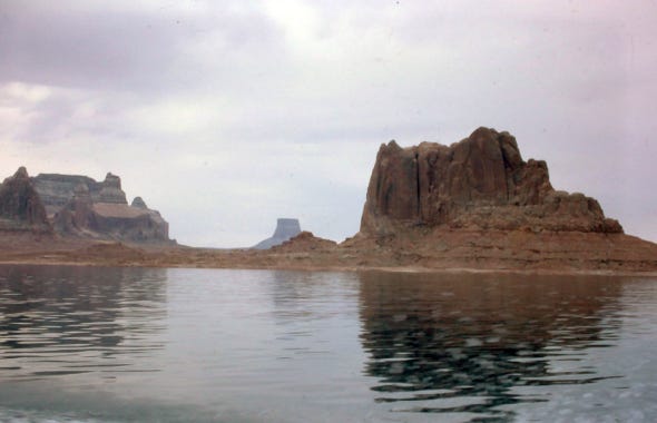
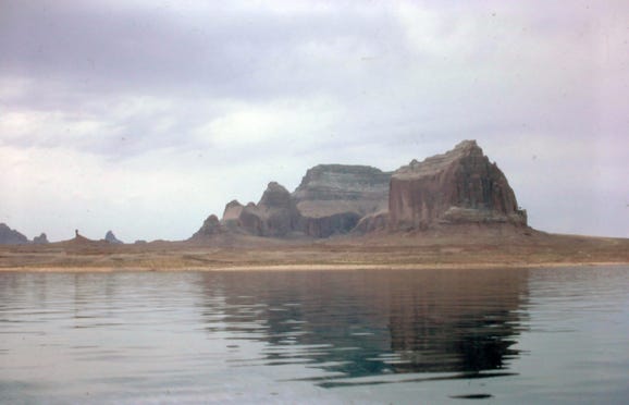
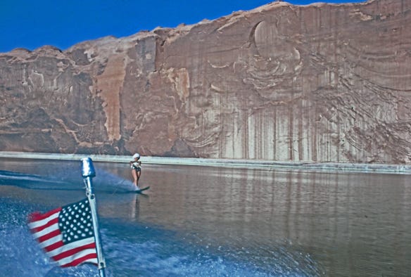
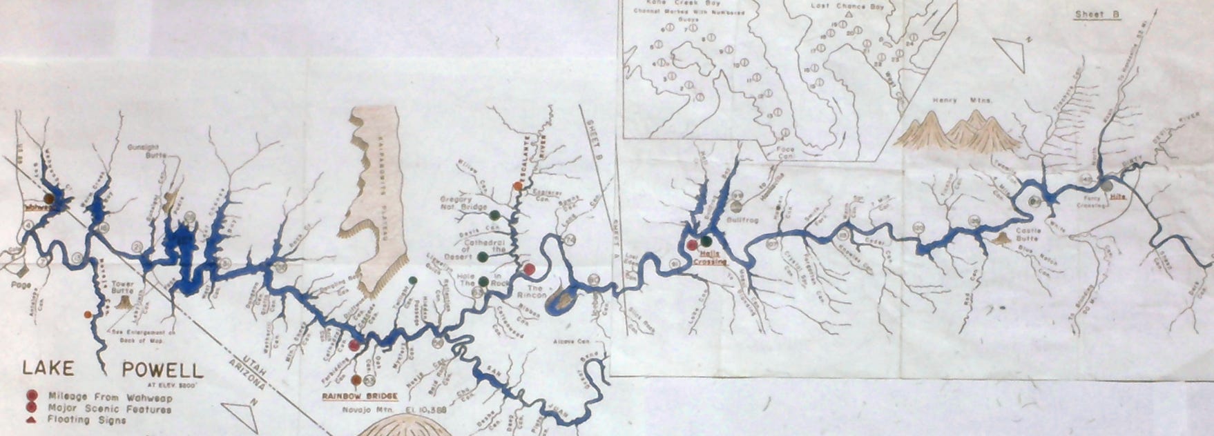
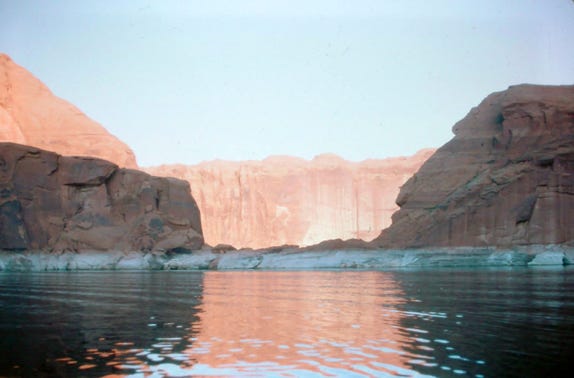
Leaving Navajo Canyon we turned into Warm Creek Bay to look around, and then up through the Narrows where we see Gunsight Butte, Dominquez Rock also known as “The Crossing Of The Fathers,” Padre Butte, and Gregory Butte. Gregory Butte is opposite the mouth of “Last Chance Bay,” which is one of the most photogenic formations on the lake.
Following our map and the buoy markers we saw a large bay and turned left into the bay, we were lost and did not know if we made a wrong turn. Knowing that our gas was limited for the 50 miles to Rainbow Bridge we stopped the boat and tried to find out where we were. Luckily a boat was coming towards us and they stopped we asked if we were in the main channel and they said “No, we are in Last Chance Bay.” We turned around and got back into the main part of the lake and made it to Rainbow Bridge.
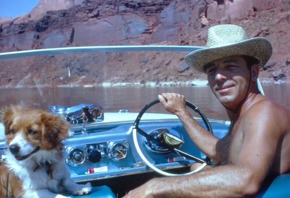
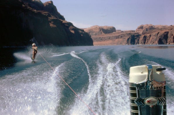
Along the way, we water skied up the canyon, and Bill is driving and Lady is our “Co-Pilot,” our second observer. When we made our trip in 1966 there were very few boats on the lake, and so we felt okay skiing without an official observer.
We knew that our other friends were going to be on Lake Powell at the same time that we had planned our trip but the only way to communicate with them was with a CB radio that we had in our boat.
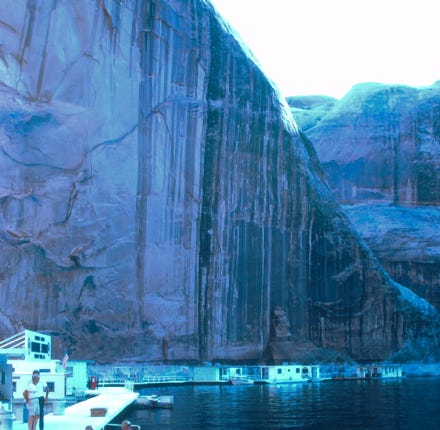
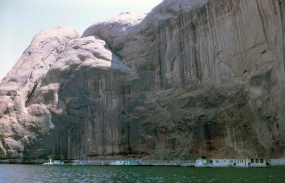
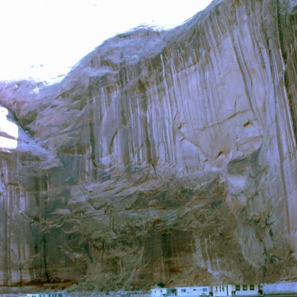
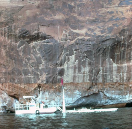
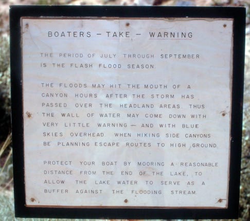
We arrived at Rainbow Bridge, and we gassed up all of the gas cans and the boat tank, we only had about 4 gallons of gas left before we ran out of gas. Talking to the people at the marina they warned us not to park our boat under any cliffs with sheer walls because of thunderstorms and the water from flash floods can come down the sheer walls with debris and rocks.
This is their floating gas boat that delivers gas from Wahweap Marina to Rainbow Bridge Marina and you will see it as your boating on the lake.
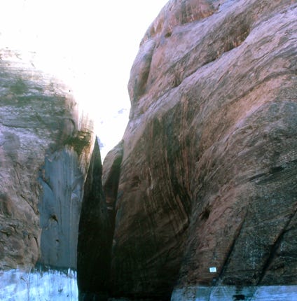
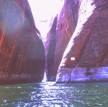
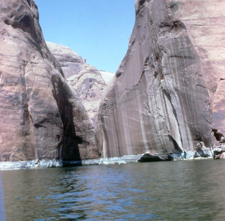
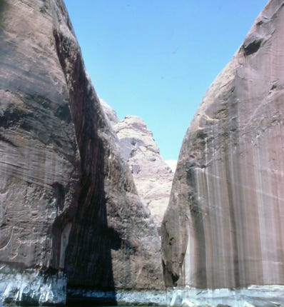
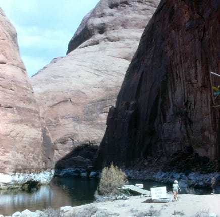
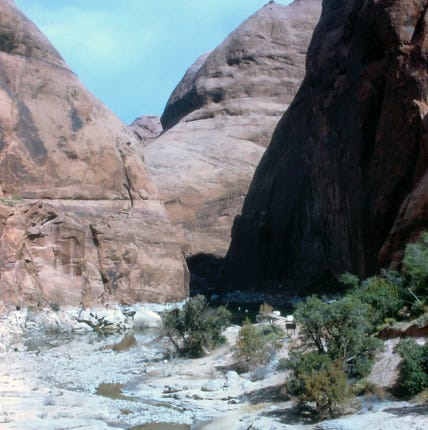
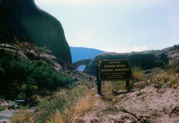
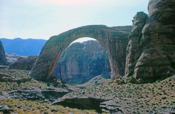
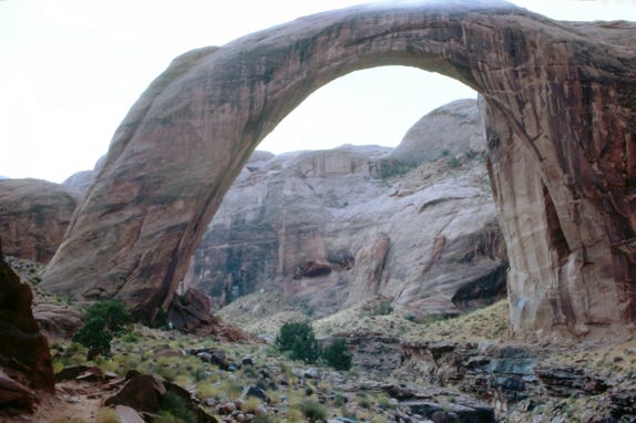
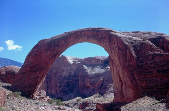
Going through the canyon to the dock at Rainbow Bridge.
We walked up the canyon and read a sign that said to tie up the bow of the boat towards the canyon in case of flash floods and so we turned around our boat and securely tied up the boat to the dock. We got out our BBQ for a nice steak dinner and a beer and put Lady’s bed on the dock where she was sleeping while we were cooking our steaks. It was dark but we had our lantern to see the surrounding area.
Out of nowhere a strong gust of wind at over 50 mph came in from the narrow canyon towards the lake entrance and sparks were flying from our BBQ into the bow of the boat, we quickly dumped the BBQ into the water. Bill was trying to get Lady out of her bed and the rope broke and the boat was drifting away from the dock.
Bill luckily gave Lady to Nancy and while Bill was lying on the dock holding Nancy’s hand so that the boat would not drift out to the canyon it all stopped. This happened so fast that we could not believe what had just happened.
We tied up our boat to the dock and Bill took the lantern to try to find Lady’s bed, he found it up the canyon, and then we ate a can of beans since our steak dinner was in the lake. Later in the night we heard thunder and saw lighting and it started to rain. Since our boat was tied up to where the wind came from we turned the bow of the boat towards the canyon in case of a flash flood and finally went to sleep.
The next morning we got our BBQ out of the lake and regrouped. We hiked up to the Rainbow Bridge and later a cruise boat came in with tourists to hike to Rainbow Bridge. We told the cruise boat captain our experience and he said that this was a powerful storm and other people on the lake experienced the same thing. He offered us some fried chicken that he had on the boat and we ate that and decided to leave the canyon and continue our trip.
You can barely see the two people who hiked up to the top of Rainbow Bridge in the last photo.
We tried to use our CB to call our friends but never contacted them.
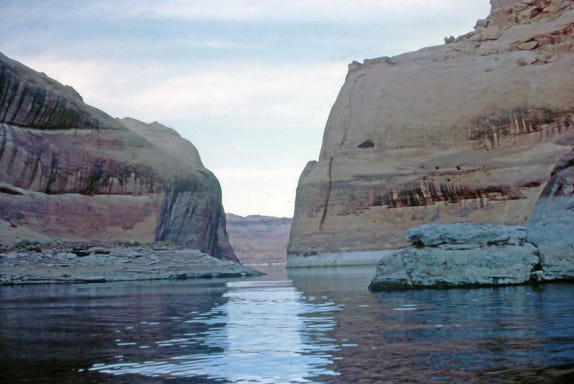
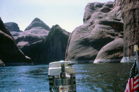
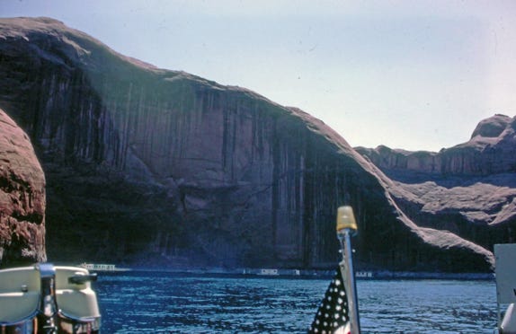
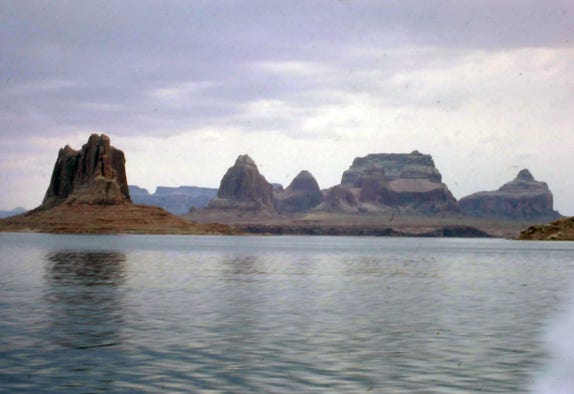

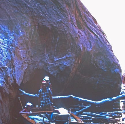
We are leaving Rainbow Bridge passing the gas dock and now on the main lake and have a view of one of the spectacular buttes on the lake. We are now approaching the San Juan River, one of the two major tributaries to Lake Powell, this twisting stream rises in the San Juan Mountains of Colorado.
As we go further into the canyon of all the people on the lake, we see our friends “Bob and Winnie,” in their small boat. We stopped and talked to them about the big wind that hit us last night and they experienced the same thing. We had a beer and then they left to explore another area of the lake and we continued to go further upstream.
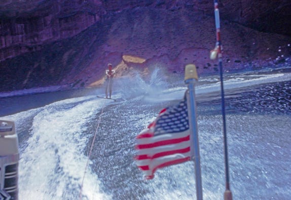
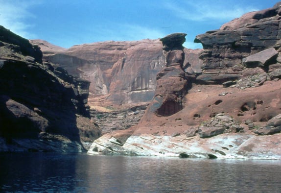
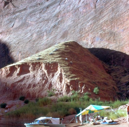
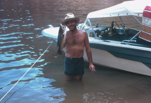
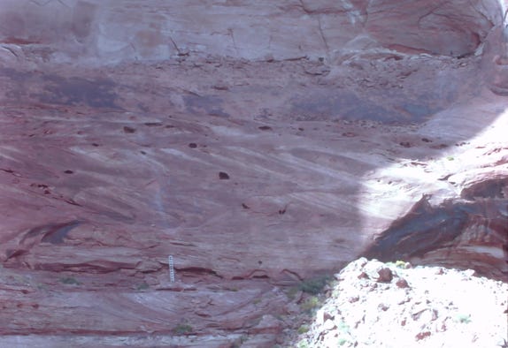
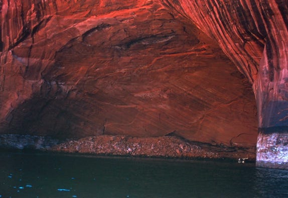
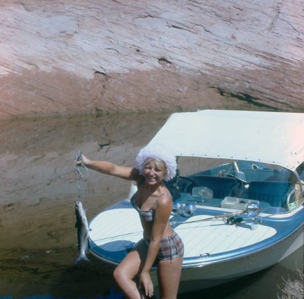
As we boat up the lake Bill is water skiing as we approach the San Juan River. We find a nice campsite and Bill catches a large-mouth bass. When you go into the narrow canyons you will see ropes and ladders on the sides of the sheer cliffs. Unfortunately, over the years many makeshift equipment was used by people to access the special places where the cliff dwellers made their homes.
Boating in a red sandstone rock formation.
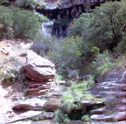
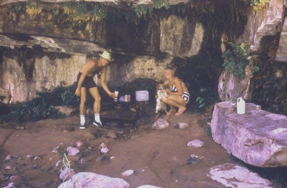
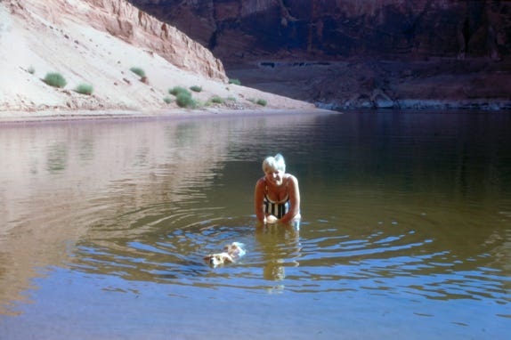
This is the entrance to Hole-In-The-Rock, a narrow crack in the canyon rim 2.5 miles downstream from the mouth of the Escalante River. It was here in the fall of 1879 that the Mormons spent months blasting and with hand chisels opening a route to descent to the river. On January 26, 1890, the expedition (250 people, 83 full-sized wagons, and over 1000 heads of livestock began their journey to the river.
Bill, Nancy, and Lady are at their campsite, and Lady taking a swim with Nancy.
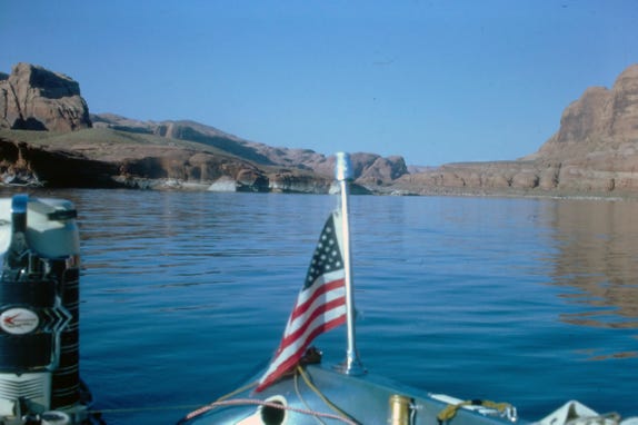
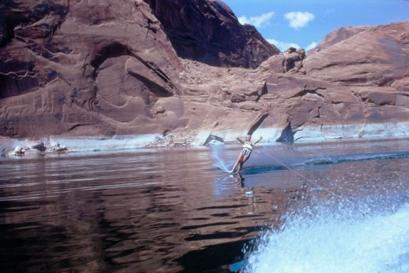
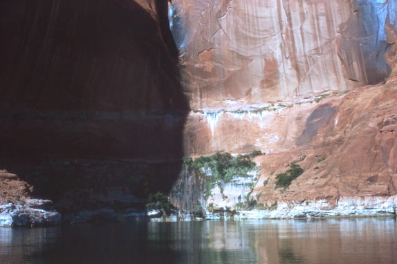
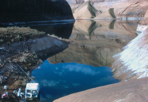
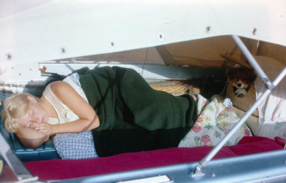
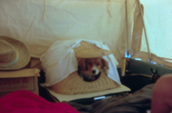
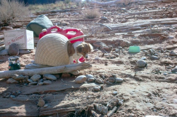
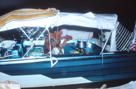
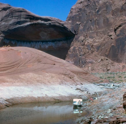
We are cruising on the lake and water skiing towards Escalante River, we now are exploring the Escalante River and finding an area to camp for several days. Nancy and Lady sleeping in the boat with the full canvas enclosure that they had made before the trip. Since their trip was over the Labor Day Holiday they were still at an elevation of 3,500 feet and while the days are warm the nights can get cooler so the enclosure made it more comfortable.
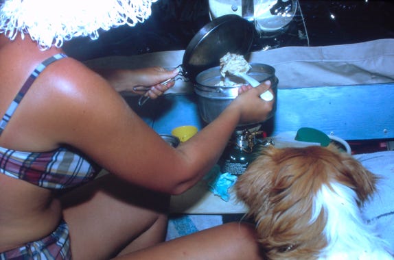
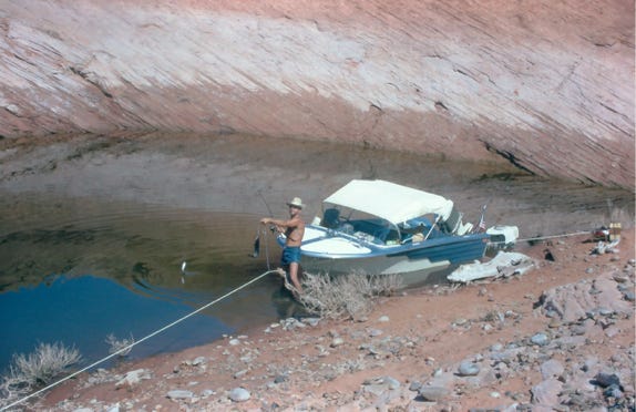
Nancy is cooking beef stroganoff while Lady is watching. The next day fishing and Bill and Nancy with several large catfish.
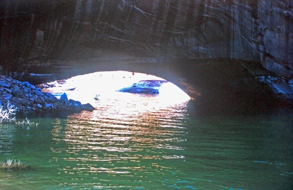
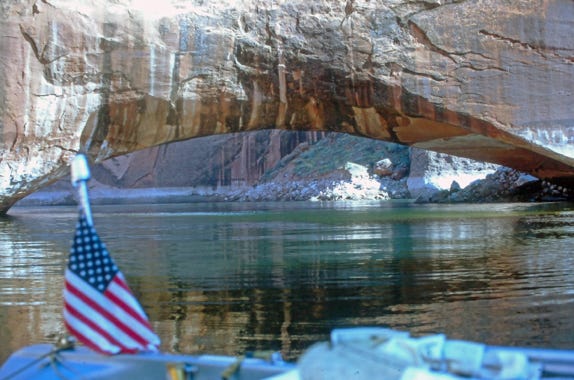
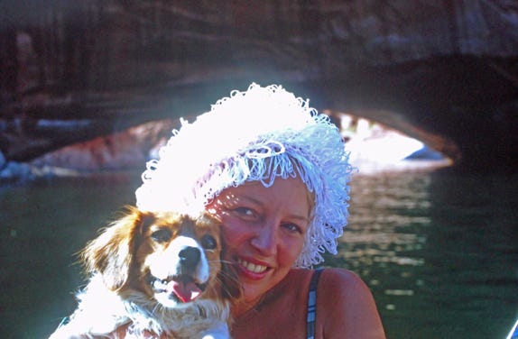
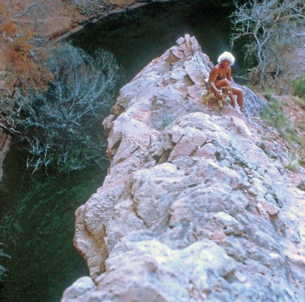
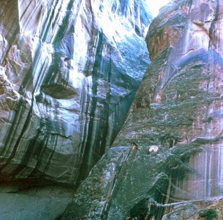
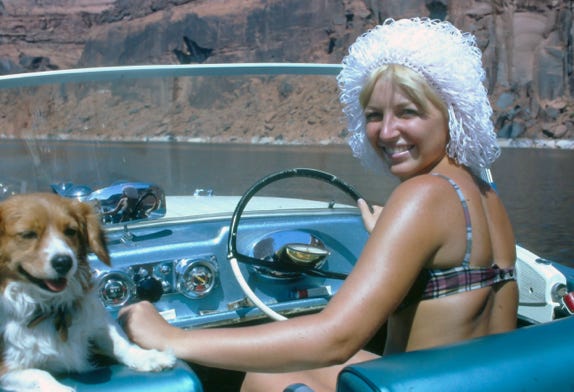
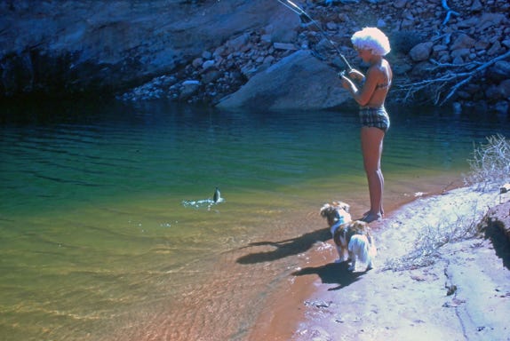
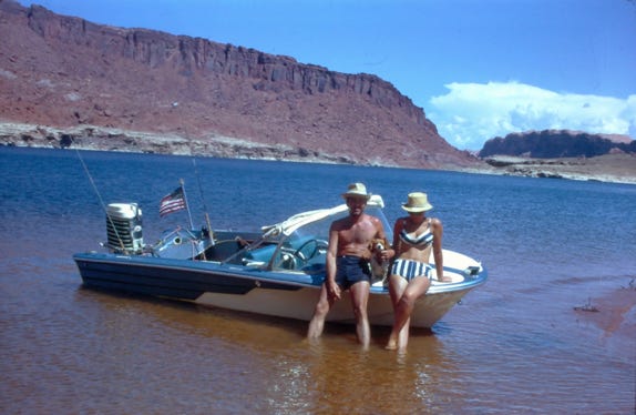
Gregory Natural Bridge is one of the 19 major natural stone bridges and arches on or near Lake Powell, Gregory is the only one that will be completely inundated by rising water. It arcs high enough above the present water level to allow a boat to pass beneath it. Carved by the action of Soda Creek, the bridge’s opening was originally 75 feet high and 177 feet wide. It is named for the explorer whose name has since been applied to Gregory Butte.
Nancy driving the boat with Lady looking on, and another catfish on the line.
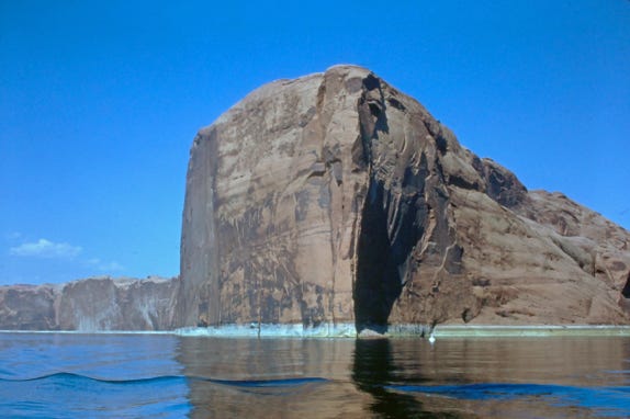
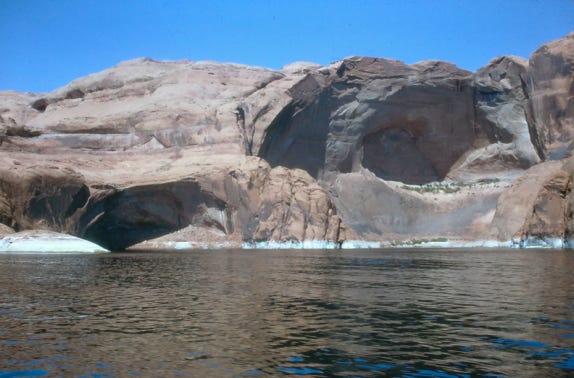
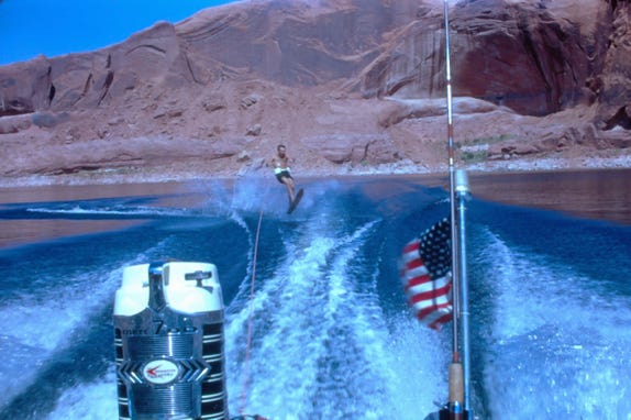
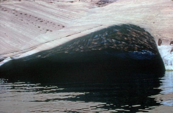
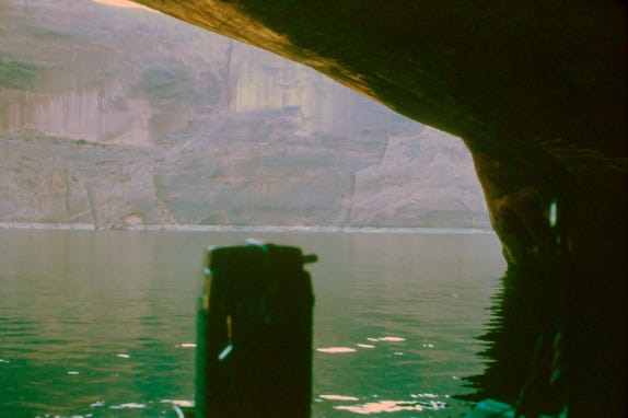
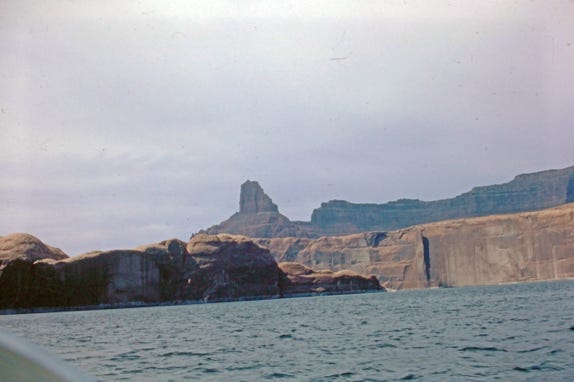

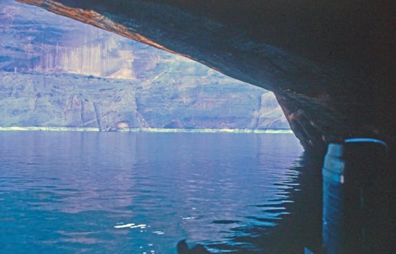
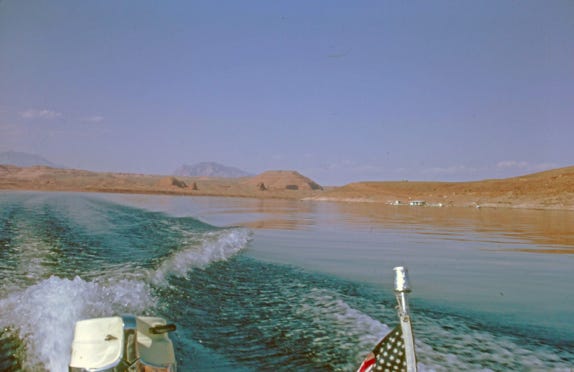
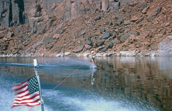
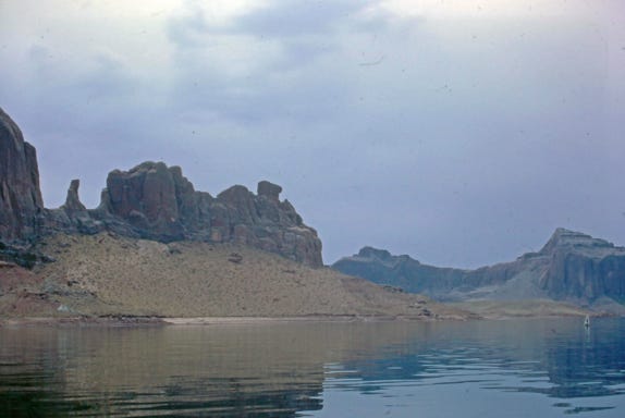
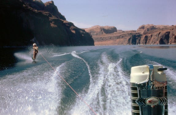
Leaving our campsite early we wanted to boat up to Halls Crossing, which is about a 60-mile round trip. We pass by other large rock formations and explore some small caves.
The weather was cloudy and the water was smooth, perfect for Nancy to water ski up the lake to Halls Crossing. With Lady as the observer, they took turns skiing up the lake.
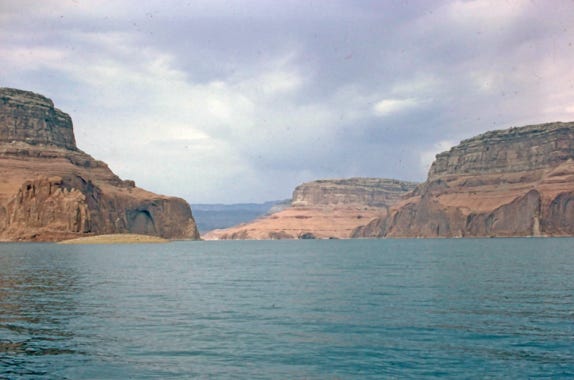
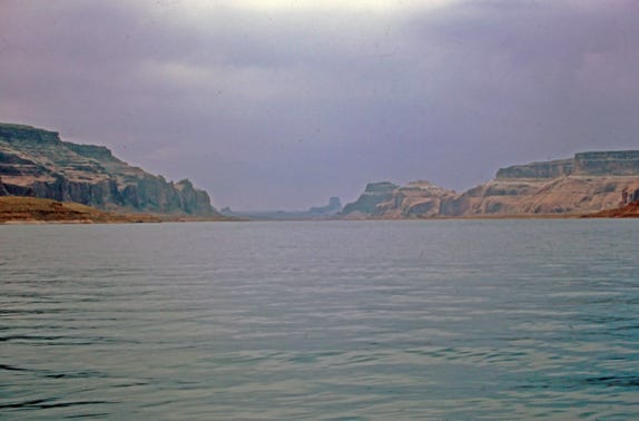
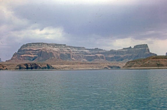
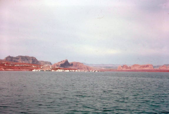
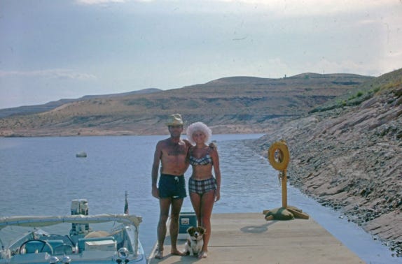
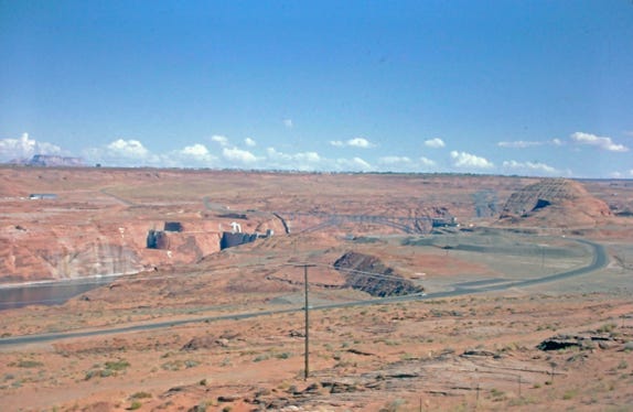
Approaching Hall’s Crossings and a photo of Bill, Nancy, and Lady on the dock. They left Halls Crossing, returned to their campsite in Escalante River, and then started their trip back to Wahweap Marina.
We are now leaving Lake Powell to go to the Grand Canyon.
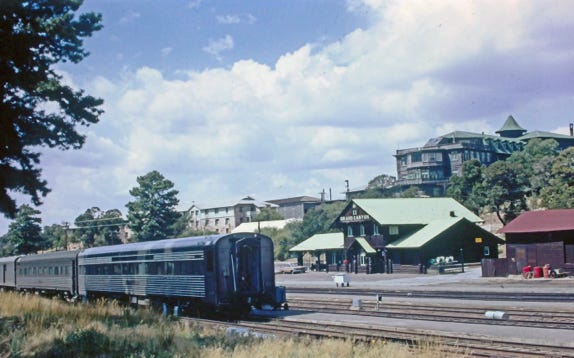
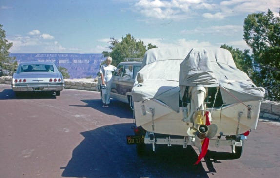
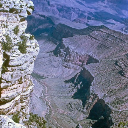
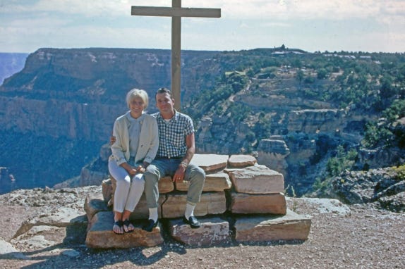
We drove to the South Rim of the Grand Canyon and stopped at the Grand Canyon Railroad Station that was constructed from 1909 to 1910 for the Atchison, Topeka, and Santa Fe Railway.
The train depot is a 2 1/2-story wood structure about 3,000 square feet, built primarily of logs with frame construction for the second floor.
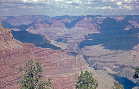
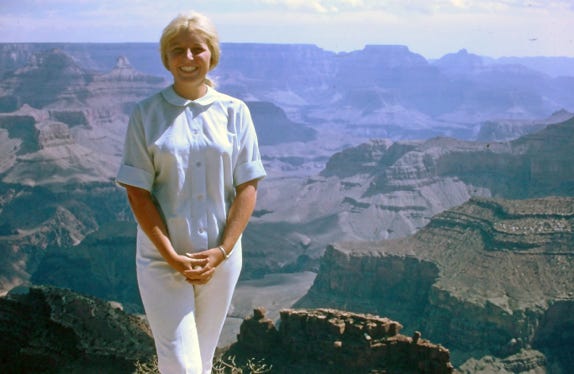
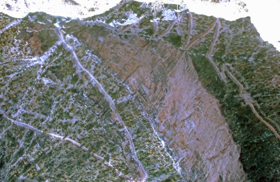
Views of the Grand Canyon and trail down to the Colorado River.
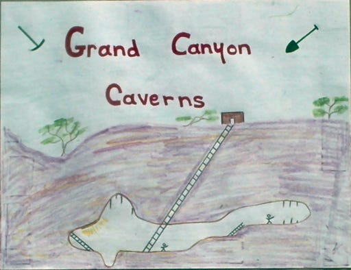
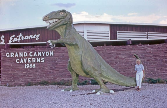
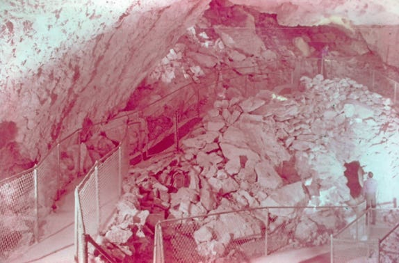
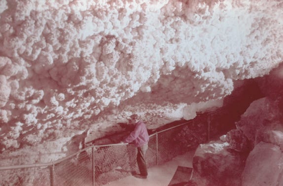
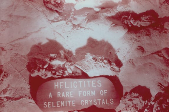
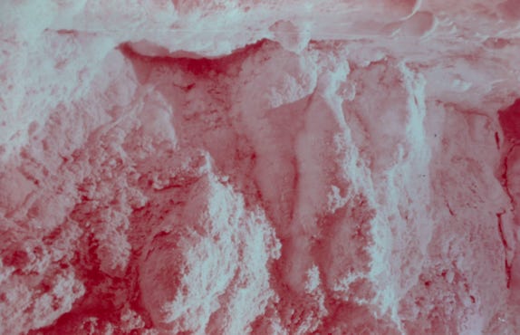
We left the Grand Canyon and drove to the Grand Canyon Caverns.
The Grand Canyon Caverns along Route 66 are several miles east of Peach Springs, AZ. They are the largest dry caverns in the U.S. and are 21 stories underground formed over 65 million years ago.
This was a fun and exciting trip, and the following year in 1967 they did this all over again!