THE GRAND TOUR - PART 2
FROM MAINE, NEW HAMPSHIRE, VERMONT, MASSACHUSETTS, NEW YORK, PENNSYLVANIA, WASHINGTON DC, MARYLAND, VIRGINIA, TENNESSEE,
GEORGIA, SOUTH CAROLINA, AND FLORIDA

From An RV Park At Bar Harbor, Maine to A KOA Campground In Flager Beach, Florida
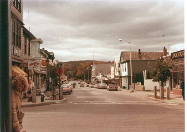
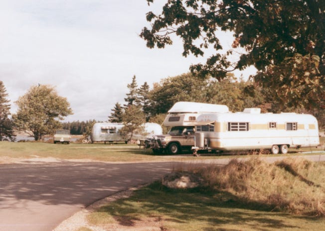
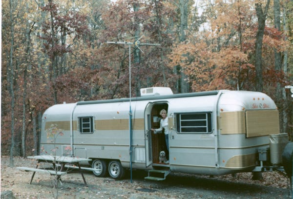
As we continued “Our Grand Tour - Part 2,” we left New Brunswick, Canada on October 1st, and followed Highway 2 to Bar Harbor, Maine. We went to an RV park and unhooked the trailer so we could get ready to explore the area the next day.
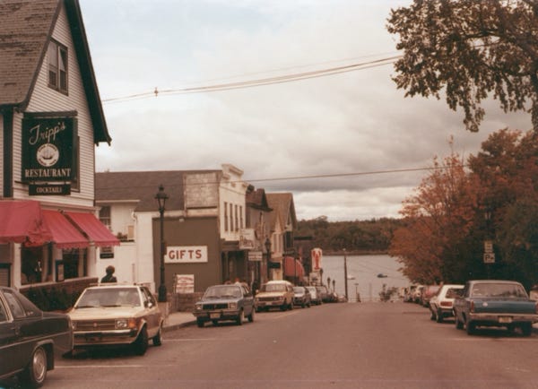
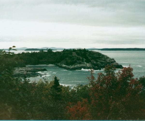
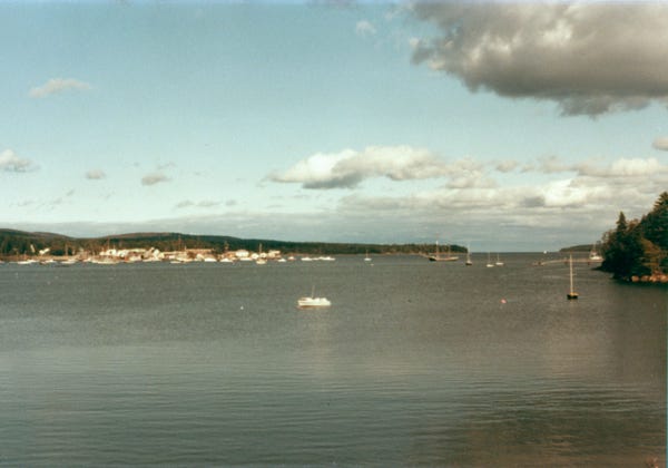
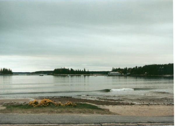
The next day we drove into the town of Bar Harbor and walked around the area and then drove the famous Ocean Drive Loop to Acadia National Park. The park preserves about half of Mount Desert Island which is about a 47,000-acre area along the Atlantic coast. With over 2 million visitors a year, the park is a popular place to visit.
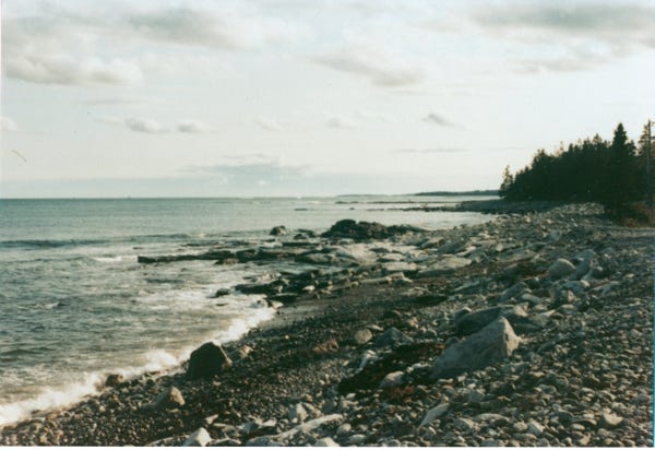
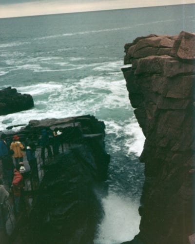
Luckily for us, the drive was not bad since it was in October, and this is how we planned to enter Maine because of fewer people this time of year compared to the summer. We walked the 3/4 mile trail to Thunder Hole a large crevice along the shore. A small cave in the crevice creates the sound of thunder as the waves go in and out. As the waves go in and out it also creates sprays of seawater that can come up as high as 40 feet.
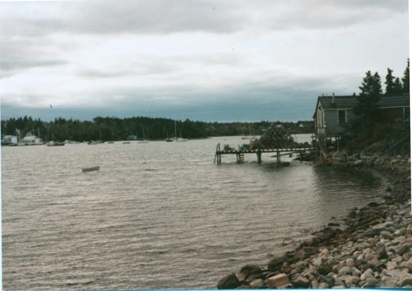
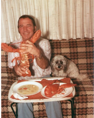
As we drove, the Ocean Drive Loop we came across a fishing village that was selling Maine lobster; we bought two lobsters weighing over two pounds each. When we got back from our drive, we cooked the lobsters for dinner and had clam chowder soup.
You can see Bill and me enjoying a great meal.
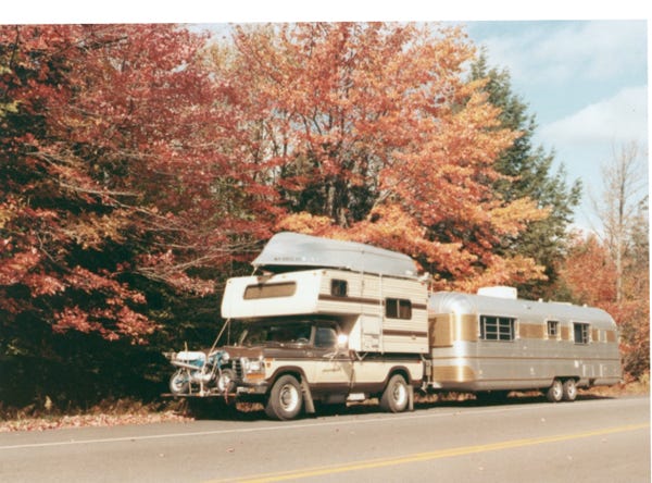
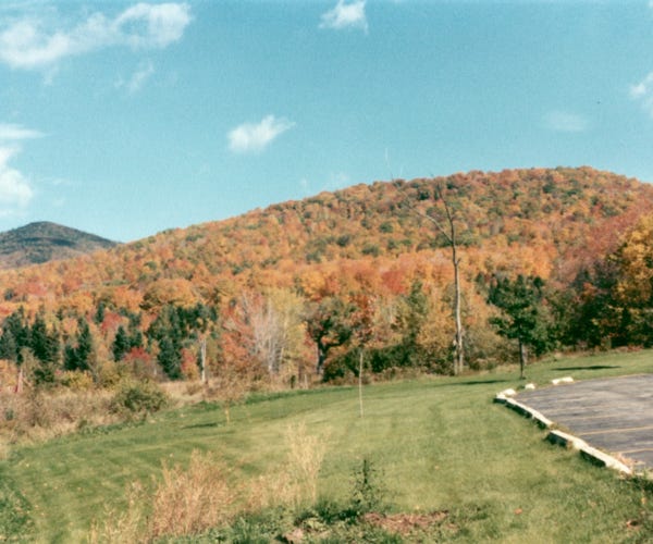
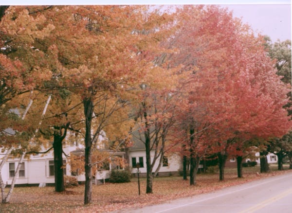
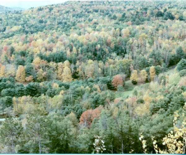
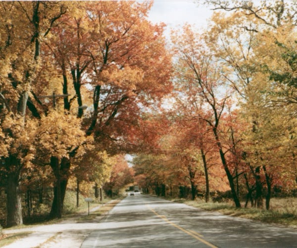
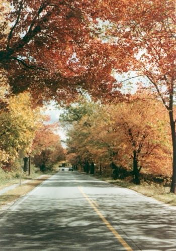
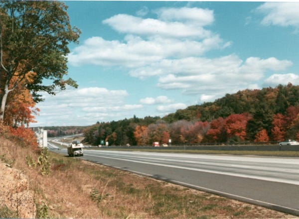
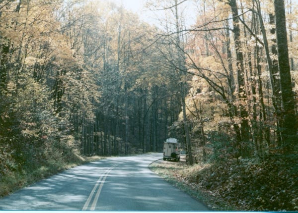
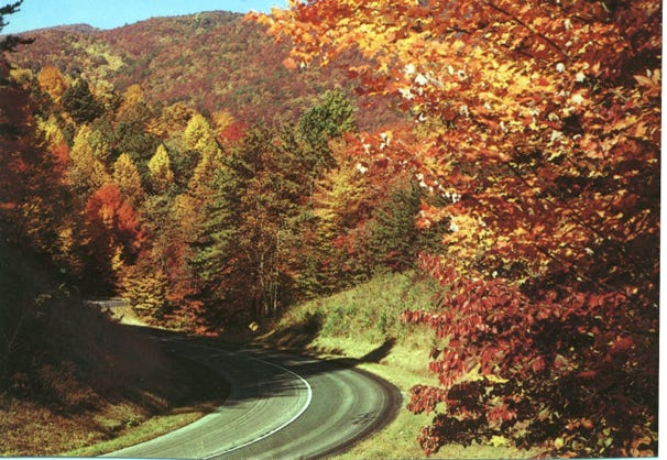
Now, it was time to drive to New Hampshire on Highway 2 and along the way, we could see the fall colors.
Again, we planned to arrive in this area to see the colors and along our route, we timed it just right.
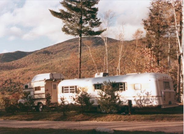
Camping in Gorham, New Hampshire for the night, and the next day we were on our way to see more sites.
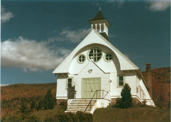
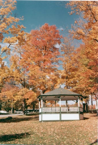
We pass a beautiful church, more fall colors of trees, and a quaint gazebo.
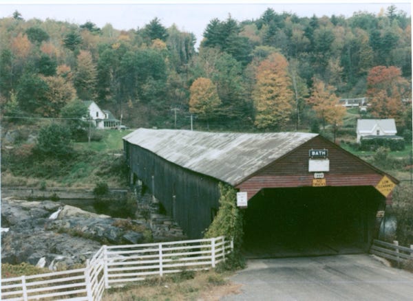
We are on Highway 91 going south to east Thedford, and then back in New Hampshire to see the longest covered bridge in Bath.
This is on the Ammonoosuc River and is 390 feet long and 22 feet wide, and was constructed in 1832. The bridge has four spans supported by Burr trusses. Driving along the two-lane road and the town of Bath.
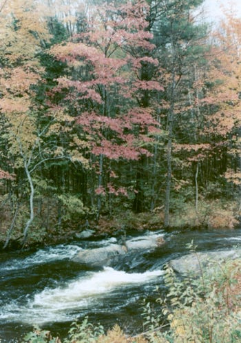
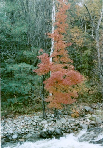
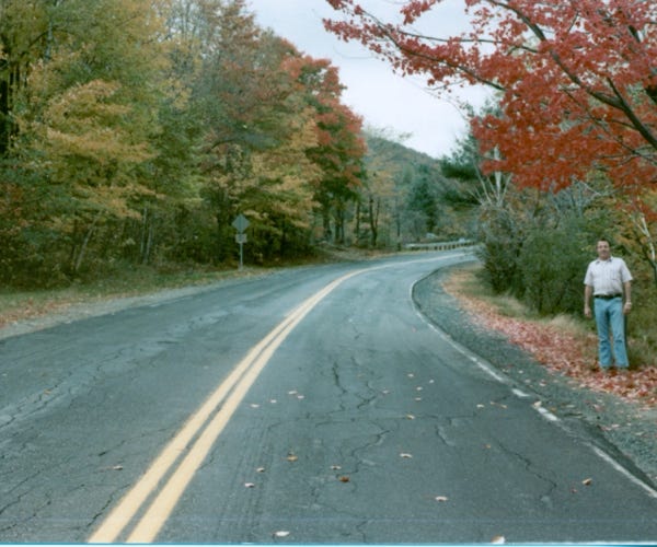
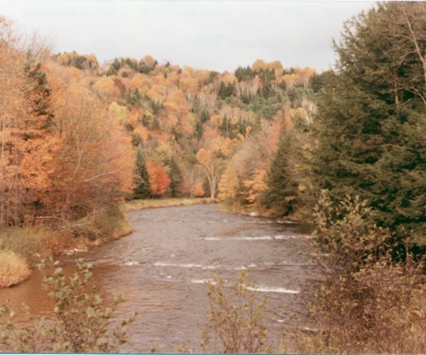
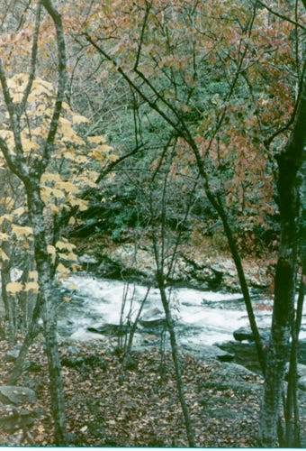
Along Highway, 302 and 10 we come across the Baker River in the White Mountains region of New Hampshire, the river is 35 miles long, and the fall colors are showing on the trees.
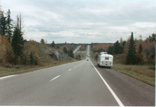
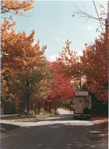
We are now on Highway 302, and 25 heading to Barre, Vermont, the trees still have fall colors. Bill standing along the two-lane road.
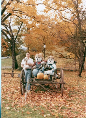
We approached a home in Groton that had a carriage in the front yard decorated for the holidays, Bill and I standing next to the carriage. Continuing on Highway 302 and 25 we will arrive to see “The Rock Of Ages” granite quarry in Barre, Vermont.
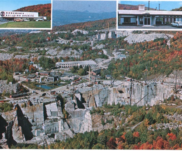
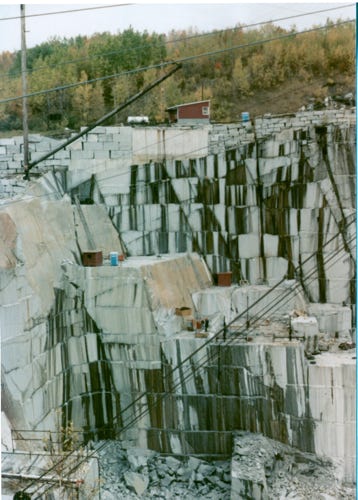
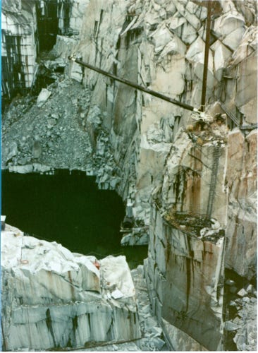
A postcard and several photos showing the “Rock Of Ages,” granite quarry. Barre is the self-proclaimed “Granite Center of the World” and is 4 miles long, 2 miles wide, and 10 miles deep.
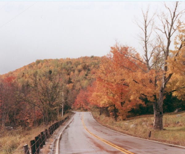
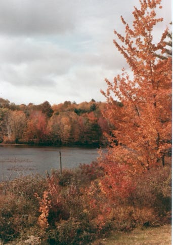
Waits River on highway 25, and Lake Morey on highway 91.
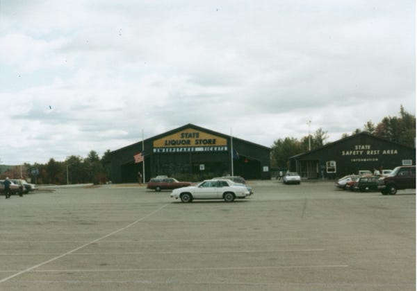
We are on Highway 91 a beautifully divided highway, we approach a rest area and a liquor store next to each other in New Hampshire.
We thought this was odd since you don’t want to buy liquor and see a highway patrolman in the same area.
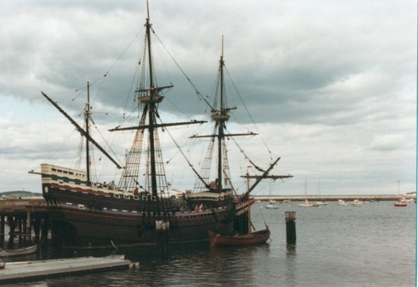
Driving on Highway 106 we parked the trailer at Normandy Farms Trailer Park so that we could drive to Plymouth, Massachusetts to see Plymouth Rock. On a two-lane road, we stop to see the replica of the 17th-century ship Mayflower II. The replica was built in Devon, England during 1955-1956. It is located at the State Pier in Plymouth, Massachusetts.
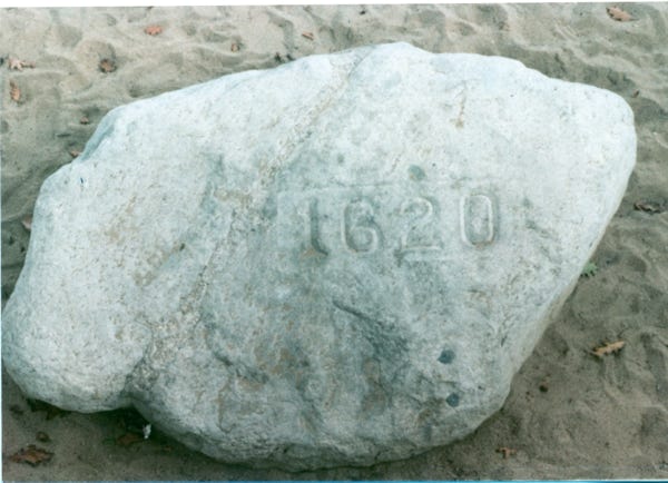
Here is a photo of Plymouth Rock, the traditional site of disembarkation of William Bradford and the Mayflower Pilgrims who founded Plymouth Colony in 1620. We toured this area before heading back to the trailer.
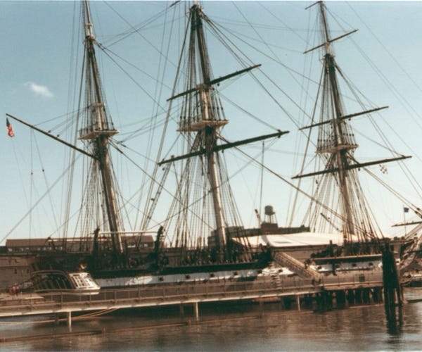
It is time to hook up and go to Boston, Massachusetts to sightsee the area. We found an RV park outside of Boston so that we could drive the truck into town to explore the area. Our first stop was the Boston Naval Shipyard to see the “USS Constitution,” also known as Old Ironsides. This is a wooden-hulled, three-masted heavy frigate of the U.S. Navy named by President George Washington after the United States Constitution. This ship is the world’s oldest commissioned naval vessel still afloat.
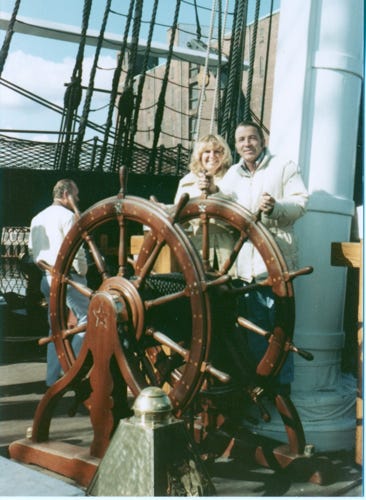
Launched in 1797 and fought in the War of 1812. She was victorious in all of her battles; her last service was in 1881. Bill and Nancy are behind the wheel of the ship.
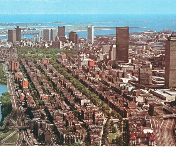
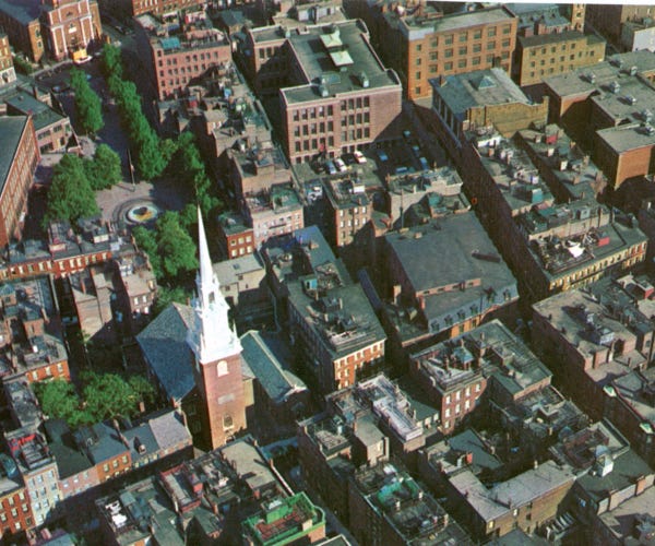
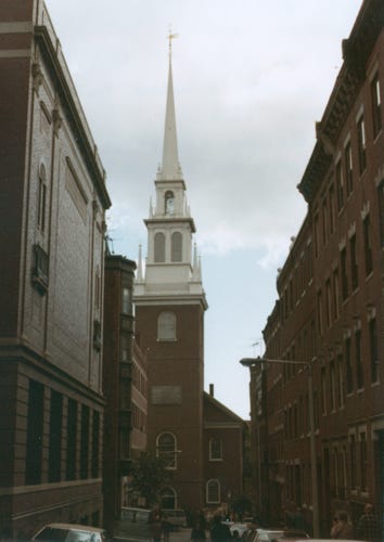
Here is a postcard of an aerial view of Boston, Massachusetts, and an aerial view of the “Old North Church.” Located on the Freedom Trail this historic church’s steeple was where the signal light was hung for Paul Revere’s famous midnight ride of April 18, 1775. The church still holds regular service each Sunday at 11:00 AM. North Church is the oldest church building in Boston built in 1723.
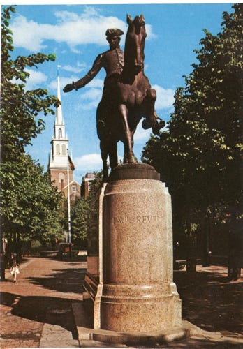
A beautiful statue of Paul Revere graces a small park in front of the Old North Church.
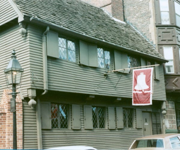
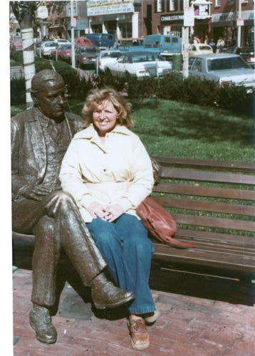
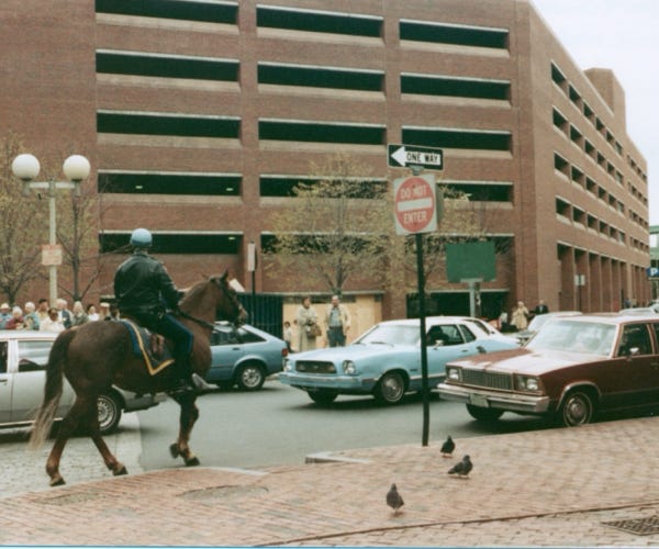
As we walk around the area there is so much to see, here is a photo of Paul Revere’s house; the oldest frame house in Boston built in 1770. Downtown Boston and Nancy is sitting next to the mayor of Boston James Michael Curley. A policeman on his horse in downtown.
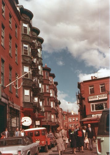
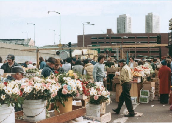
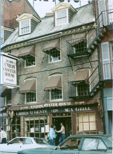
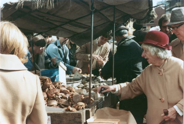
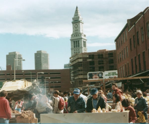
We stopped in to get clam chowder at the famous Ye Olde Union Oyster House, built in 1826, which is one of the oldest operating restaurants in the United States. It was fun to walk around the area, and we came across an open-air market with many items including fresh crabs, clams, produce, and fresh flowers.
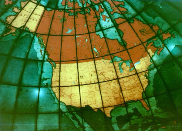
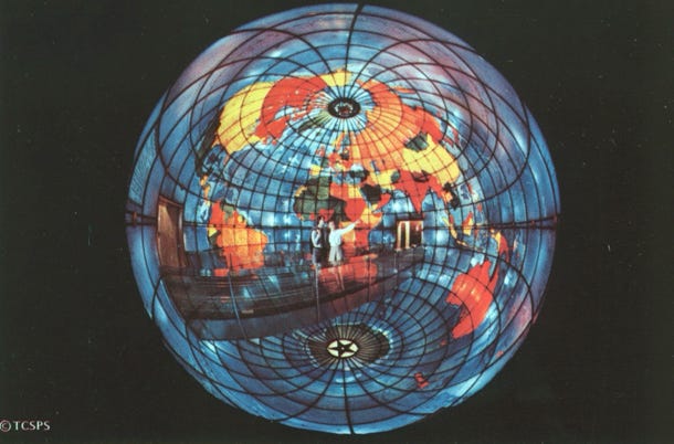
Our next stop was to see the Christian Science Publishing Society building built between 1932 and 1935. The “Mapparium,” is a three-story-tall globe made of stained glass that is viewed from a 30-foot-long bridge through its interior.
Now, it is time to leave Boston and we are heading south on Highway 87 to New York City, New York.

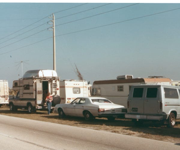
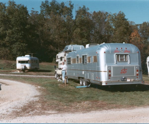
Again, we found a trailer park outside of the city limits so that we could tour the area. This time at the trailer park they had a bus tour that would take the park’s visitors to downtown New York. We could choose the sites that we wanted to see and that made a much better experience.
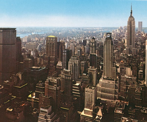
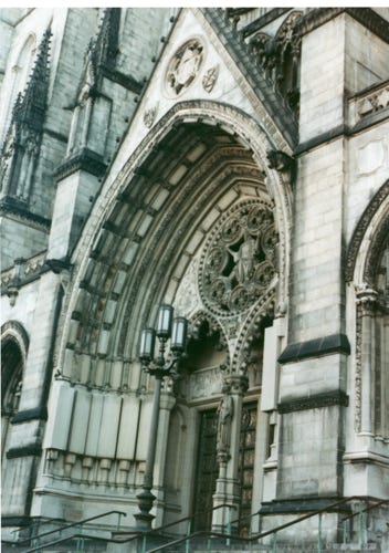
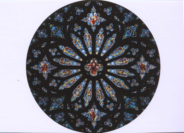
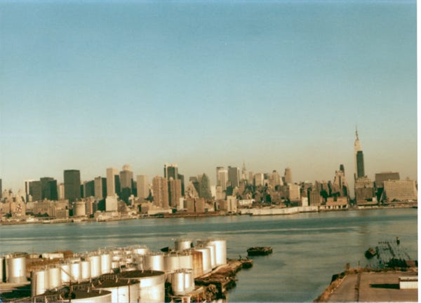
An aerial view of the New York Skyline, and a high-rise building with the twin towers in the background. We stopped and toured the “Cathedral of Saint John the Divine,” construction began around 1892. A postcard of the great rose in the West front takes its acknowledged place among the great windows of the world. It is 40 feet in diameter and contains over 10,000 pieces of glass.
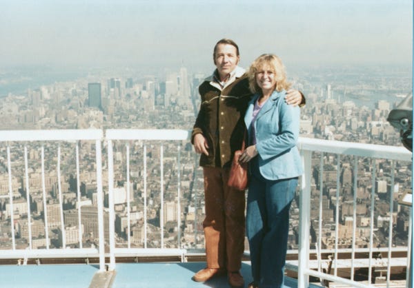
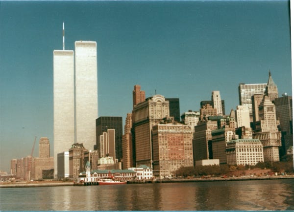
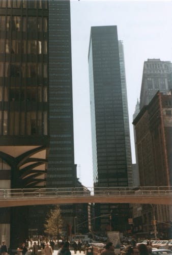
Looking at this photo of us standing on top of one of the Twin Towers gives us a sad feeling. At the time, we toured New York we had to decide if we wanted to go up to the top of the Empire State Building or one of the Twin Towers. We chose the Twin Tower buildings because it was at that time the tallest buildings in the world. It opened on April 4, 1973, just 7 years before Bill retired and we started our “Grand Tour.”
The 1 World Trade Center, at 1,368 feet, and 2 World Trade Center at 1,362 was a large complex of seven buildings. In 1978 with the addition of the 362-foot, telecommunications antenna on the North Tower it reached 1,730 feet. It cost 400 million (equivalent to over 2 billion in 2018).
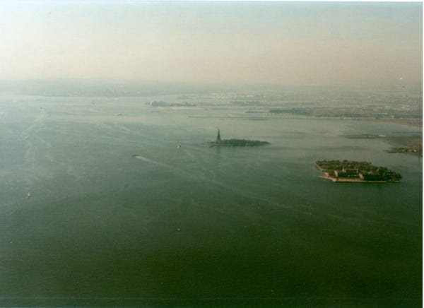
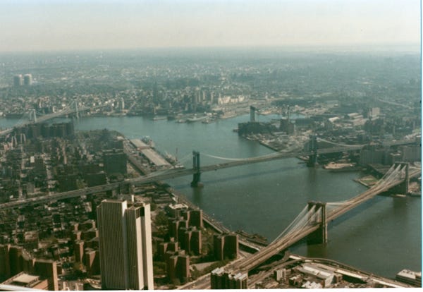
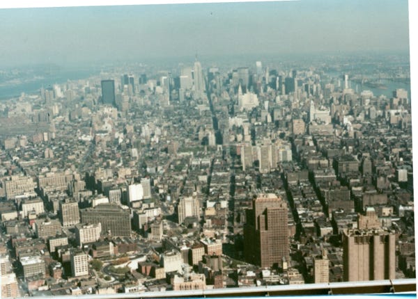
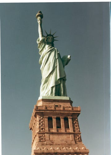
From the viewing platform, we took photos of the Brooklyn and Manhattan Bridges, a view of the Empire State Building and downtown, and another view of the Statue of Liberty in the Harbor. A spectacular view of the Twin Towers glistening with the sun on them from the boat tour we took to see the Statue of Liberty.
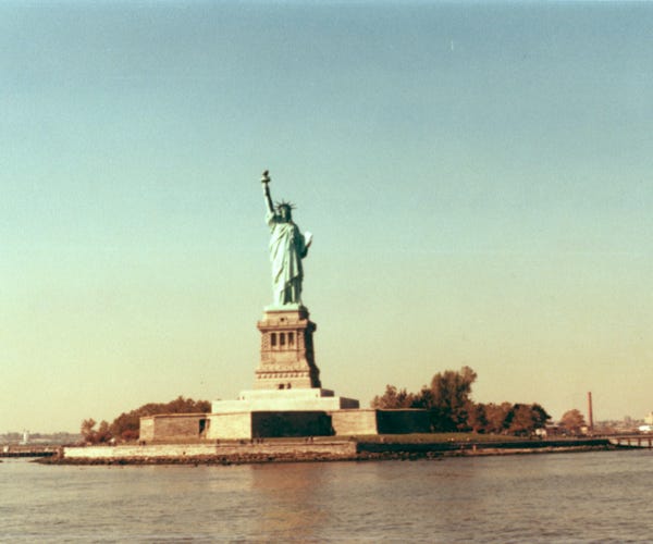
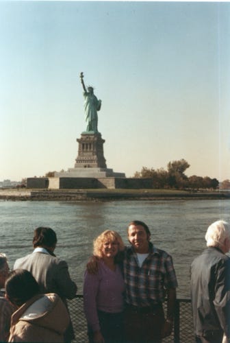
We took several days sightseeing in New York City, and from the trailer park, we took the bus back into town to go on the boat tour to see the Statue of Liberty.
On the boat, we are approaching the Statue of Liberty, with a height from the foundation to the top of the torch at 305 feet, it weighs over 200 tons and has a total of 354 steps to the viewing platform in the crown. Well, we did it, we climbed the steep steps that are only 19 inches wide, with a head clearance of 6 feet 2 inches. This climb is strenuous and is equivalent to 20 stories.
Another view of the Manhattan Skyline.
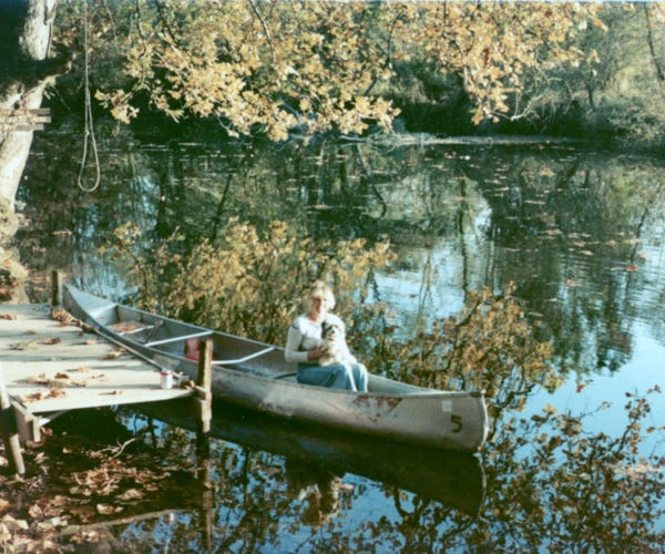
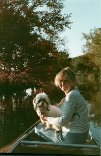
Well now it is time to head South again to Pennsylvania, we are parked at a KOA campground in West Chester, Philadelphia. Nancy and I getting ready to take a canoe out on the Brandywine River at the trailer park, this was fun because Bill did all of the paddling.
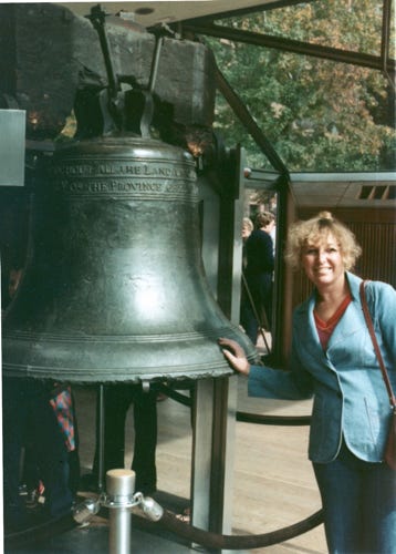
The next day we drove downtown and toured the area. When Bill and Nancy took their trip, the Liberty Bell was in a glass pavilion across Chestnut Street from Independence Hall. Nancy was able to touch the “Liberty Bell,” because they only had a small area roped off. In 2003 the Liberty Bell was moved to Liberty Bell Center, which has an interpretive exhibit and a large window that allows visitors to see it against the backdrop of its old home, Independence Hall.
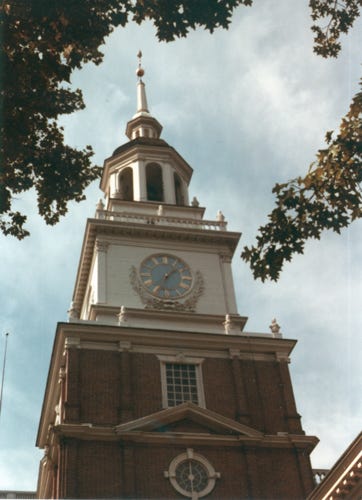
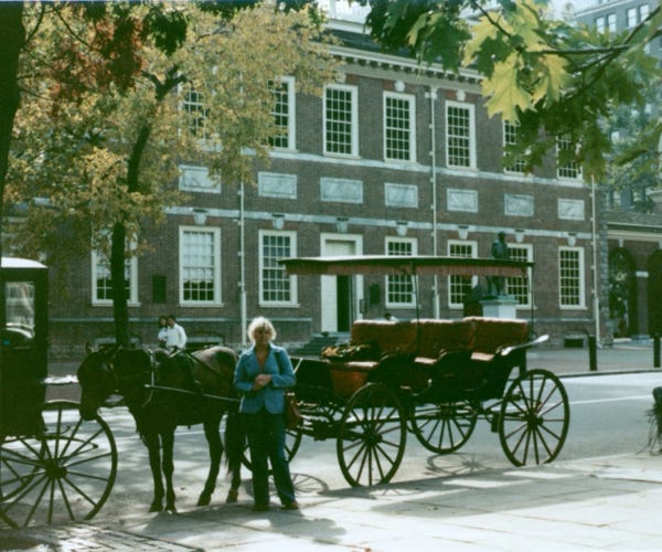
We went into Independence Hall to see the room where the Declaration of Independence and the U.S. Constitution were both signed and saw more historic sites in the area.
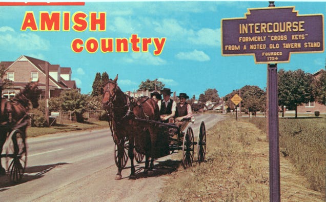
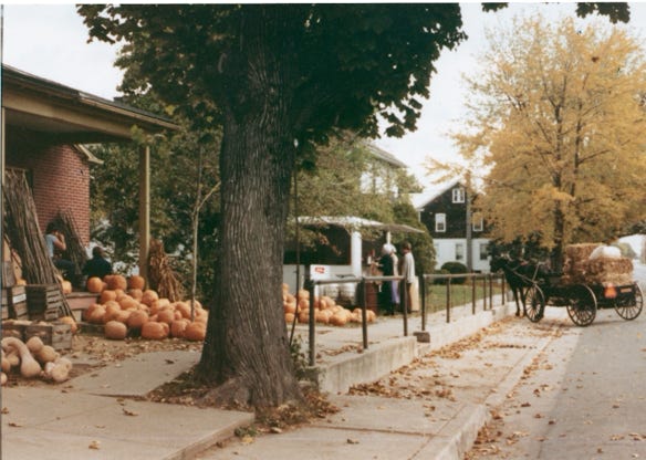
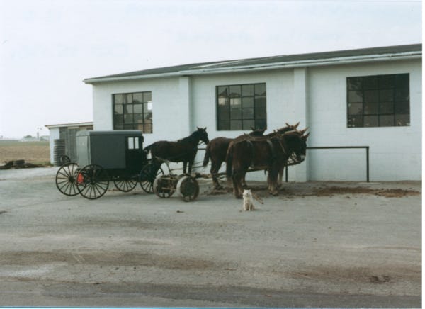
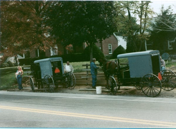
We left the area and towed our trailer via Highway 30 to Lancaster, Pennsylvania so that we could see the Amish and PA Dutch Countryside.
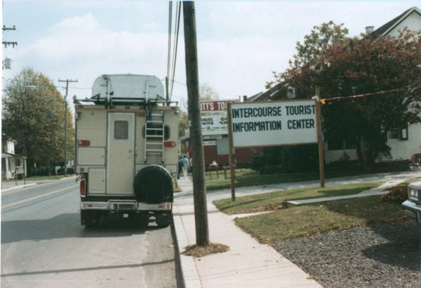
The next day we drove to a town called “Intercourse,” via routes 340 and 772. We stopped by the visitors center as usual to get maps of the area (that’s the only information that we needed if you know what I mean!).
We stopped to get an excellent meal in Kitchen Kettle Village and had a handcrafted wooden sign made with our names so that we could hang it outside on our trailer.
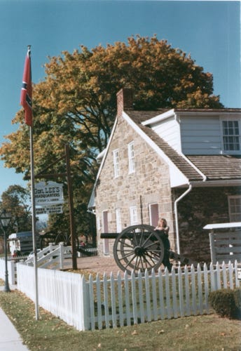
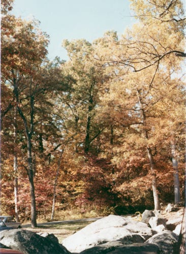
Arriving at the town of Gettysburg, PA we stayed at the Drummer Boy RV Park, still seeing the fall colors we left the trailer there and arrived at Gettysburg National Military Park. We went to the visitors center and then got an audio tape and a map so that we could drive the area and see the historic sites.
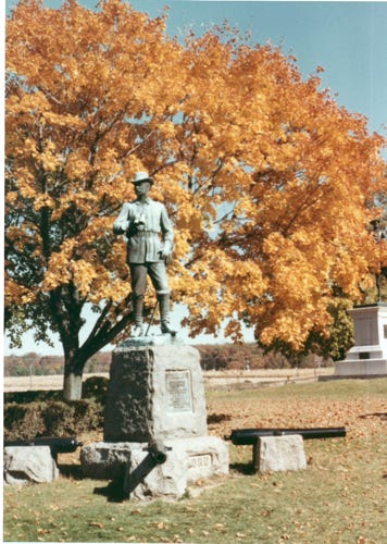
This photo is of General Lee’s original quarters and a statue of General Wadsworth.
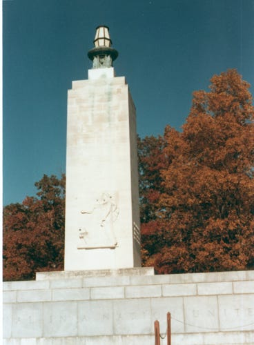
The photo of the Eternal Light Peace Memorial was dedicated by President Franklin D. Roosevelt on July 3, 1938, commemorating the 1913 Battle of Gettysburg. A photo of “Spangler’s Spring,” located at the southern end of Culp’s Hill, is adjacent to one of the few open pasture areas in this part of the battlefield. This provided water to both sides during the fighting.
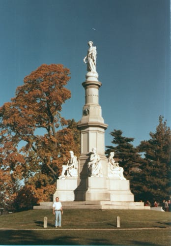
Next, you will see the 60-foot-high Soldiers National Monument where the first cornerstone of the monument was laid on July 4, 1865, and it was finished and dedicated on July 1, 1869. On November 19, 1863, President Lincoln delivered the Gettysburg Address.
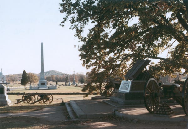
The next photo is of Pickett’s Charge was an infantry assault ordered by Confederate General Robert E. Lee against Major General George G. Meade’s Union positions on July 3, 1863, the last day of the Battle of Gettysburg.
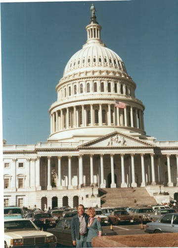
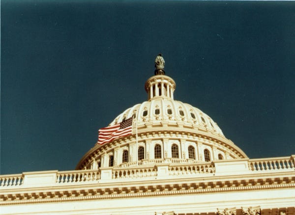
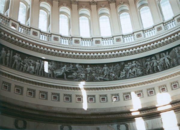
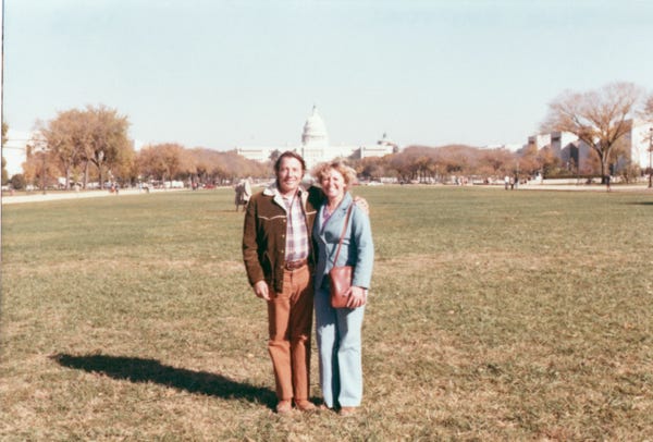
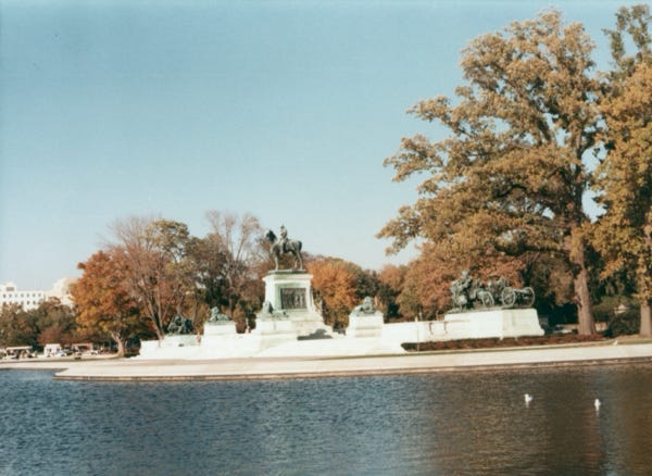
Now, it was time to hook up the trailer again and drive to Washington, D.C. We found an RV park outside of town that offered a van to take visitors to the Capitol Building and many other historic sites. A view of the Capitol building and the Capital Dome with the American flag, and inside the Capital Building.
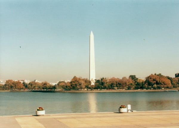
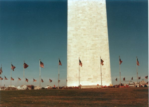
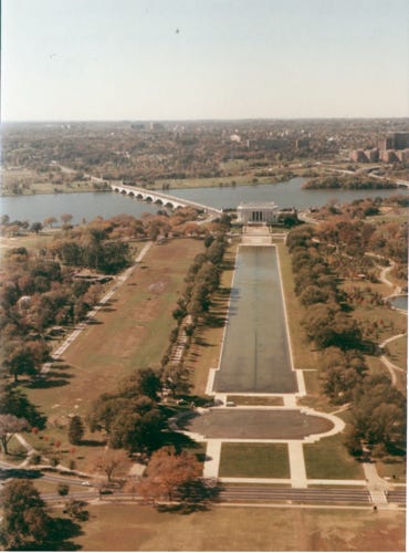
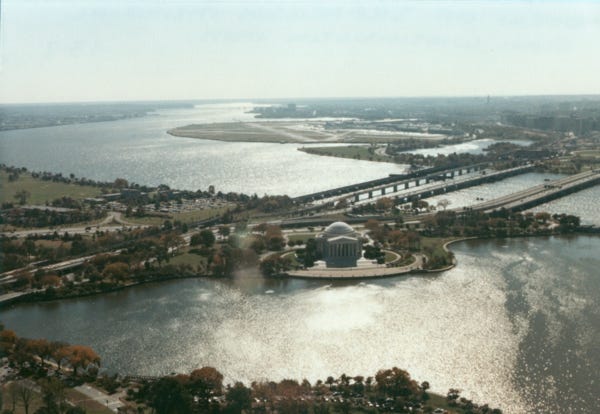
We bought tickets to board a shuttle to get on and off at different locations along the National Mall, and the Memorials. This gave us time to explore and walk the area. A photo of the Washington Monument built between 1848 to 1884, it was the tallest building in the world at 555 feet at that time. We went to the top of the monument and took photos of the Lincoln Memorial, and view of the Jefferson Memorial.
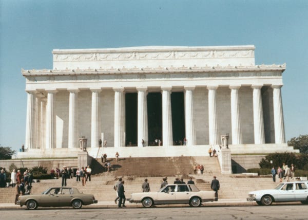
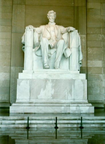
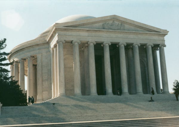
A photo of the Lincoln Memorial, and President Lincoln, and another monument. The Jefferson Memorial was built between 1939 and 1943.
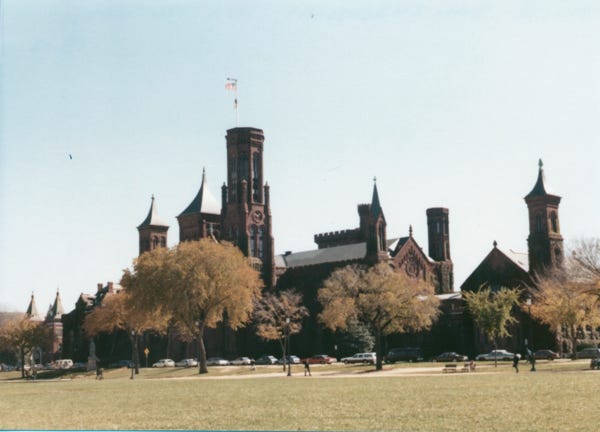
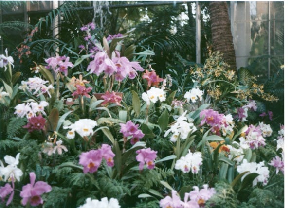
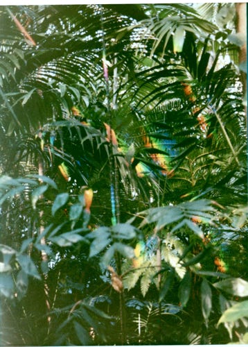
Now visiting the Smithsonian Institution we toured the area and saw the Smithsonian Gardens the Air and Space Museum and a few others.
We then got back to our trailer and the next day we drove to the Arlington National Cemetery which is the country’s largest military cemetery. The cemetery conducts between 27 to 30 funerals every weekday.
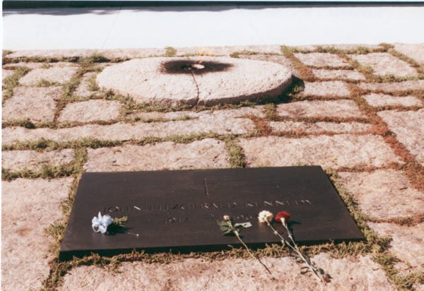
We saw the Tomb of the Unknown Soldier and saw the Changing of the Guard. Here is a photo of the gravesite of President John F. Kennedy, it was on November 25, 1963, that Jacqueline and Robert Kennedy lit an eternal flame that remains alive today. Two of Kennedy’s children and Jacqueline Kennedy are also buried alongside the president.
Leaving the area we drove to Annapolis, Maryland.
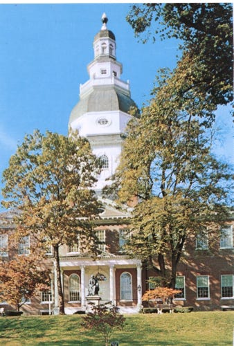
A postcard of Maryland’s State House in Annapolis, Maryland built in 1772 serves as the seat of the State Legislature and is the oldest such structure in America still in daily use.
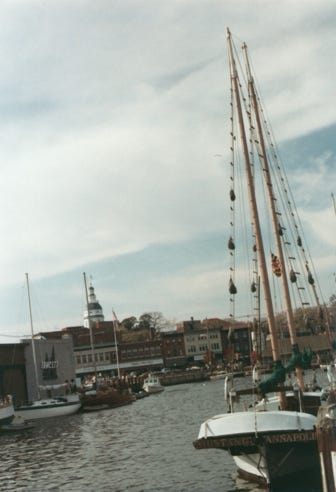
A view of the waterfront in Annapolis, where we had a nice lunch.
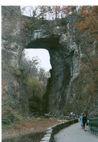
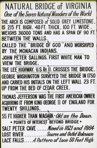
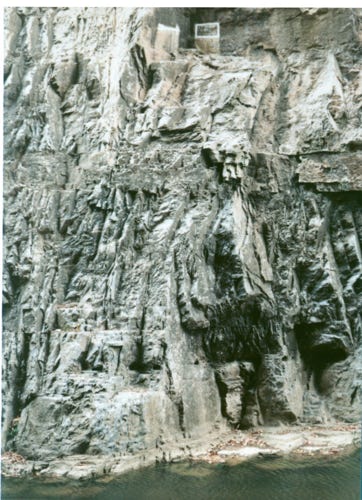
Driving on Highway 81 we arrive in Virginia and find another KOA campground at Natural Bridge, Virginia. With the trailer unhooked we were ready to explore the area and we went to the Natural Bridge of Virginia, once owned by Thomas Jefferson.
This is listed on the National Register of Historic Places; the 215-foot tall Natural Bridge is a limestone gorge carved out by Cedar Creek. The postcard has more information about the bridge. Another interesting fact is that George Washington climbed 23 feet up the southwest wall where he chilled his initials in 1750.

Now leaving the area on Highway 81 we continue to Gatlinburg, Tennessee, leaving the trailer at Great Smoky Mountain’s National Park. We drove highways 441 and 74 exploring the area.
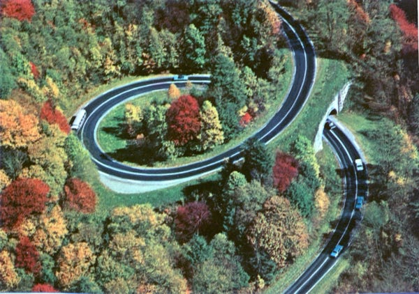
The Great Smoky National Park is located half in Tennessee and North Carolina. This is the most massive uplift in Eastern America and attracts over 5 million visitors a year. More than any other in the National Park System. A postcard of the scenic U.S. 441 road that climbs rapidly from Gatlinburg to the 5,048-foot Newfound Gap, where it makes this exciting loop.
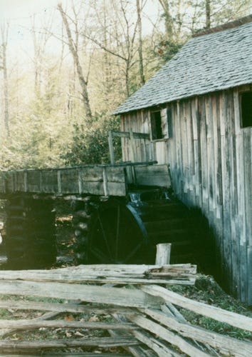
The trees are still turning with the fall colors, and we are now at the end of October. We drove the Cade’s Cove Loop, and here is a photo of John Cable Mill; this is the only working grist mill in the Smoky Mountains. In this area, you will see many historic buildings, barns, homes, etc.
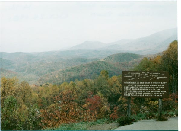
This photo shows mountains to the East and South-East. All of the mountains visible from here are to the North of the main Great Smokies Range. On the Tennessee side of the National Park, the mountains rise fully a mile above its base. From Greenbrier Pinnacle to Sugarland Mountain.
Well, again it is time to head to Nashville, Tennessee, and stay at another KOA campground.
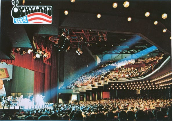
We spent several days here as we regrouped, and bought tickets to see the Grand Ole Opry.
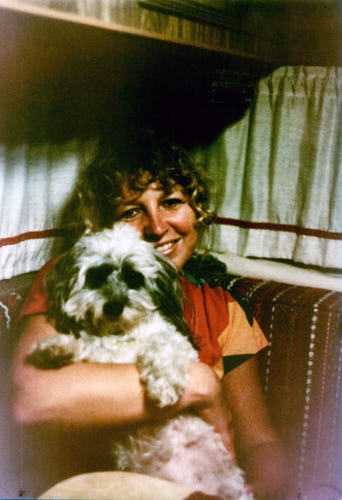
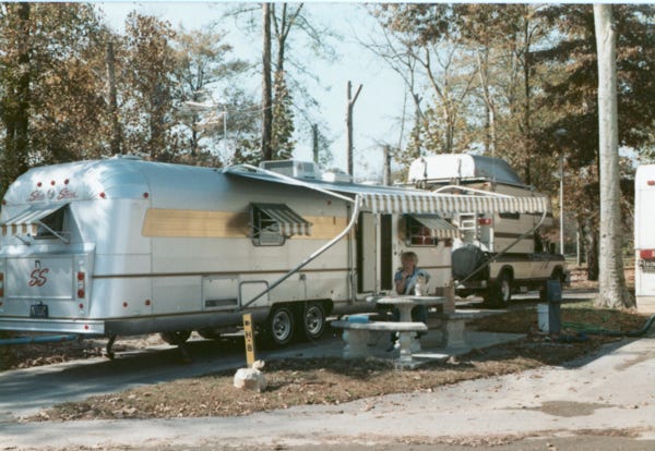
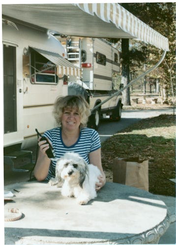
Finally, Nancy is giving me some “TLC,” to me, a nice bath, and a trim, ready for me to see more sites.
A postcard inside of the Grand Ole Opry.
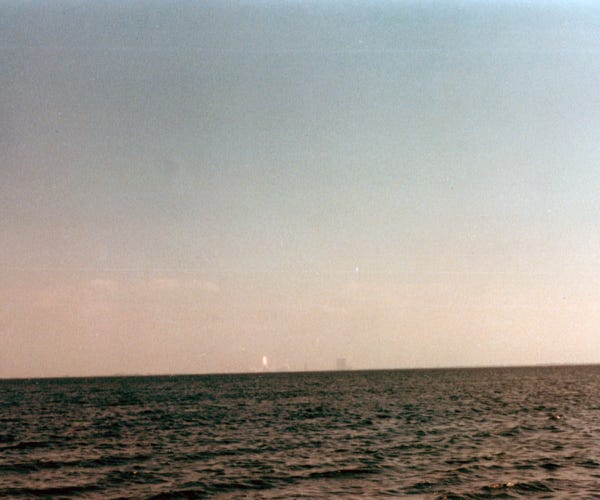
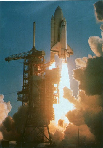
When Bill and Nancy were staying at this campground, they were talking to other campers and found out that the space shuttle STS 2 was going to launch from the Kennedy Space Center in the first part of November.
Not wanting to miss seeing this they decided that they could always return to explore the central states another time and so on we went to see the space shuttle launch.
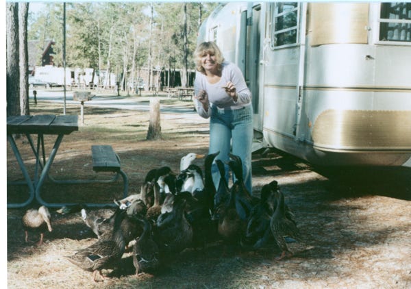
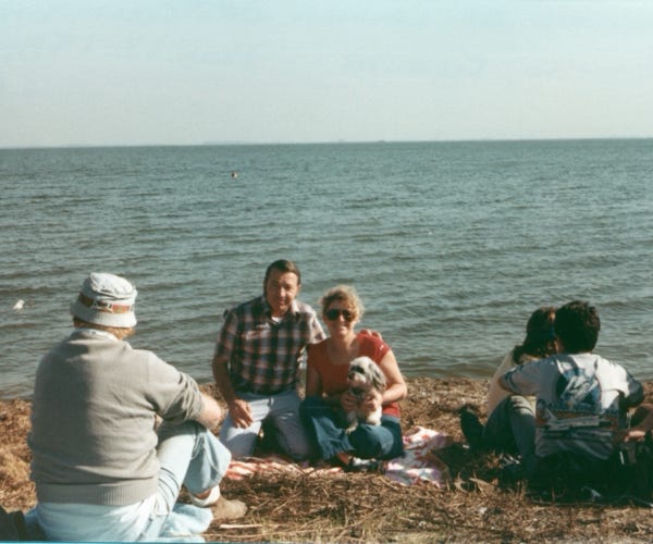
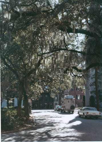
As we continued going back to the East Coast we stopped at another KOA in Atlanta, Georgia, and Nancy was feeding the ducks. Driving and exploring Georgia, a photo of one of the 24 squares (city parks) in downtown Savannah. A photo of Isle of Hope near Savannah, on the Skidaway River.
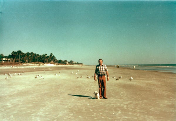
We are now on the shores of Hilton Head Island. We toured the area and ate great seafood in several areas.
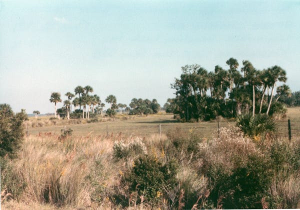
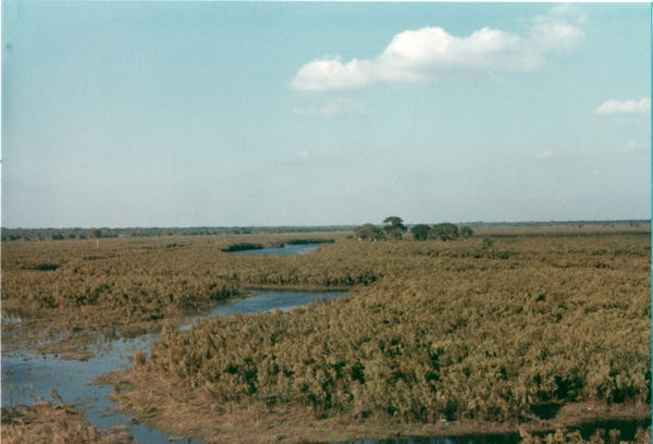
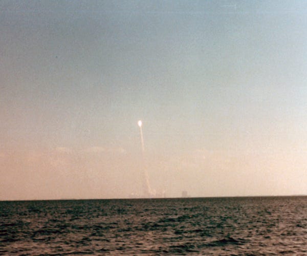
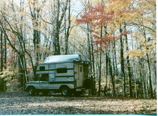
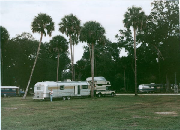
We are at Flager Beach, Florida in a beautiful KOA campground. From here we will leave the trailer and take the truck-camper to drive over to Kissimmee on Highway 528 to the Kennedy Space Center. The photo shows the open marsh area of the route, and the marches, pines, and palms.
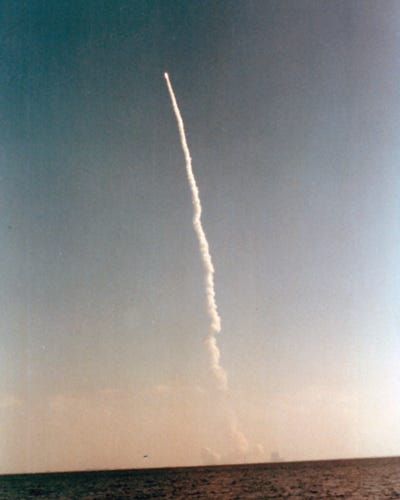
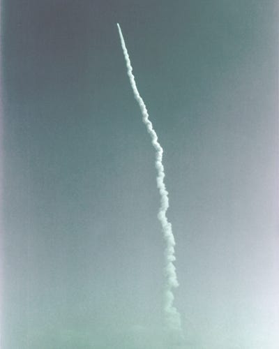
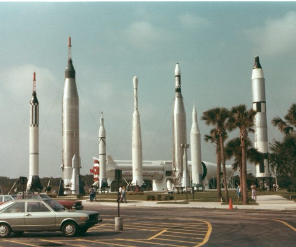
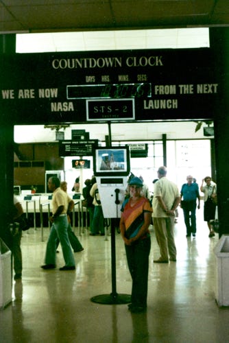
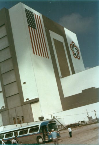
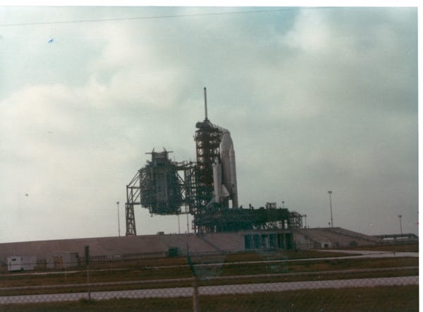
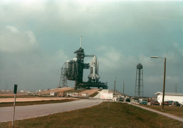
We arrived at the Kennedy Space Center on November 11th and toured the complex. Inside Nancy is standing in front of the countdown clock of “Columbia" - STS 2 at 18 hours, 20 minutes, and 06 seconds before the launch.
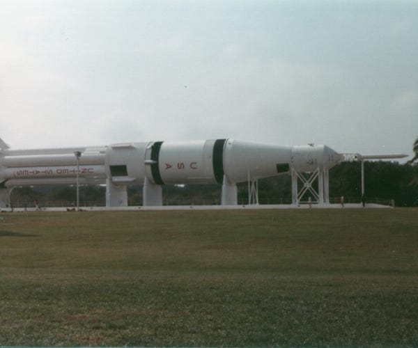
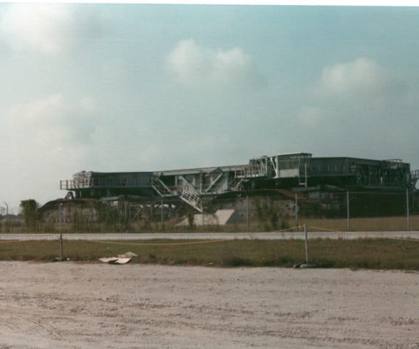
A photo of the rocket assembly building, and the world’s most powerful rocket “The Saturn.”
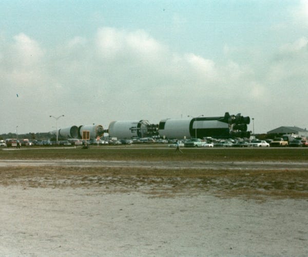
We were lucky to be the last group of visitors to go on the bus tour to see up close the “Columbia,” on the launch pad, Bill was able to get these great shots. The large flat creeper assembly is used to move “Columbia,” to launch pad 39A. The close-up photo was taken at 4:30 PM before the launch the next morning.