BAJA, MEXICO - 1976

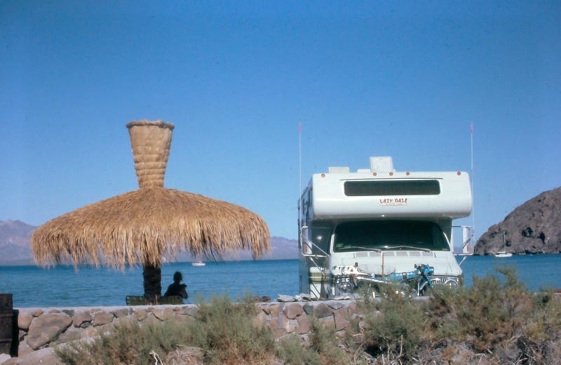
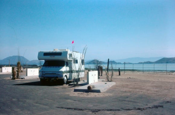
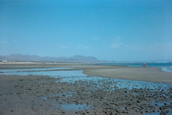
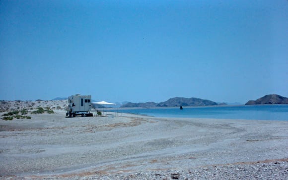
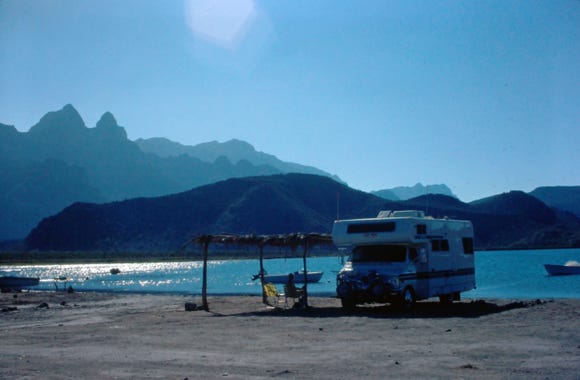
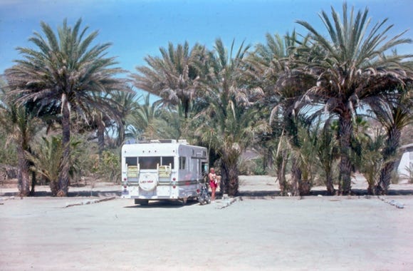
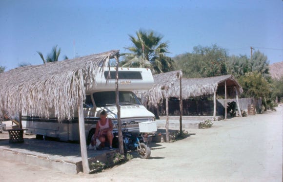
Nancy And Lady Camping On The Beach At Bahia Concepcion
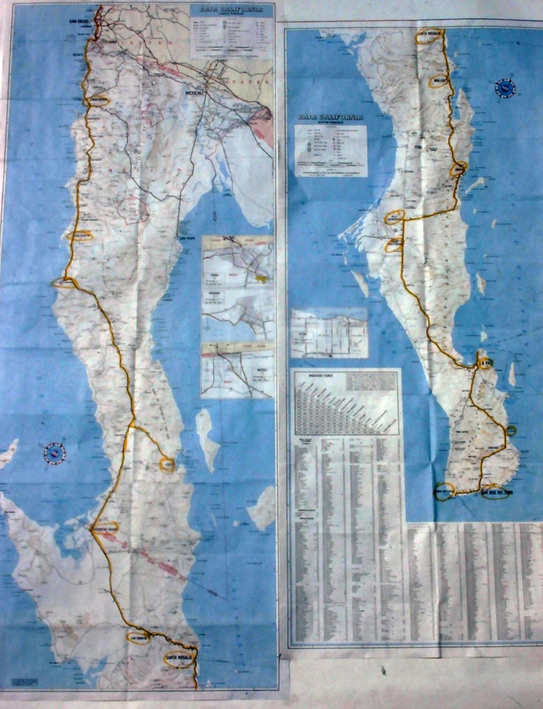
The Map Above Shows Our 1,000 Mile Route
Before any of our trips to Mexico, we bought our vehicle insurance from Dan Sanborn’s and received the Travelog for each of our trips to Mexico. It was an excellent mile-by-mile guide with places to stop for the night, restaurants, and places to see.
We also got from the AAA club their guidebooks, and our health permits for our dog “Lady.”
The Transpeninsular Highway was completed in 1973 and connected Tijuana at the U.S. Mexico border with Cabo San Lucas.
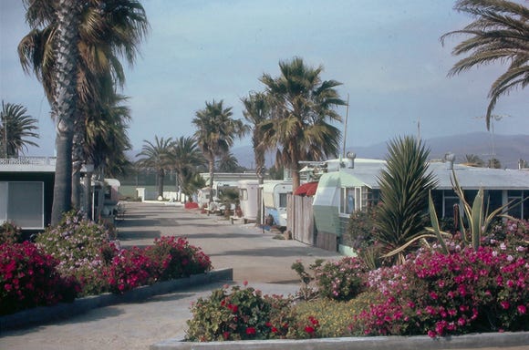
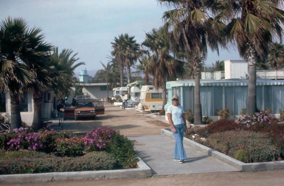
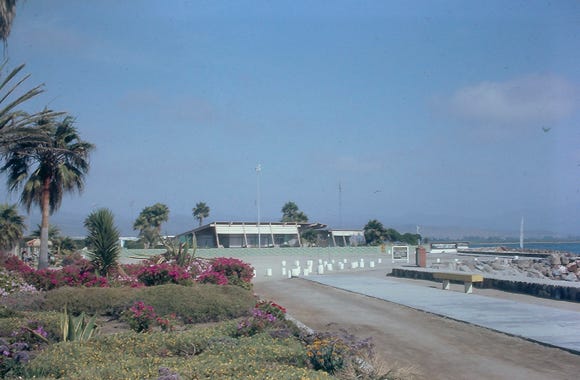
We left Los Angeles, California on May 14, 1976, for a month's trip down Highway 1 stopping to explore many sites. We took the toll road to Ensenada because it is along the scenic Pacific coastline, spending a couple of days at Estero Beach Trailer Park.
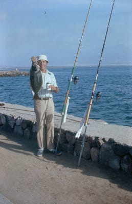
Bill and I fished off of the jetty at the park, and he caught a large opaleye; these are found in rocky shallow waters from California south to Baja California.
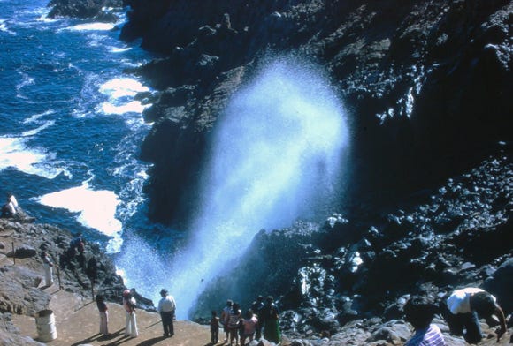
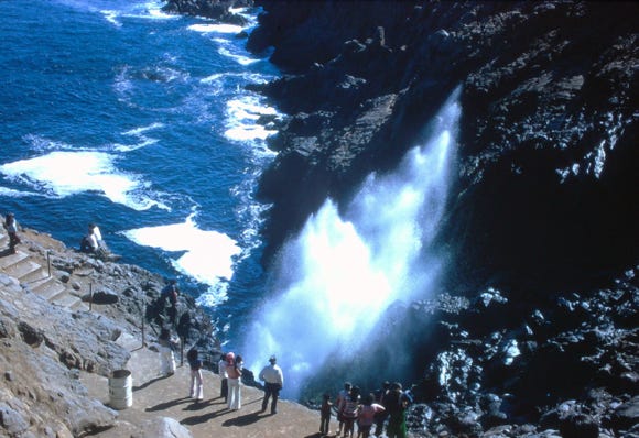
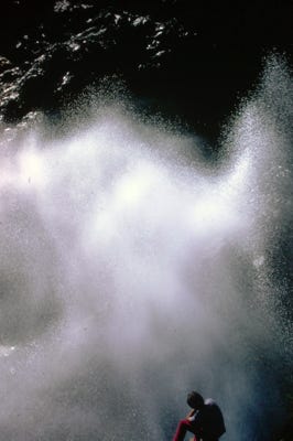
We then drove to La Bufadora which is sea water trapped in a cave. Air is forced into the cave by wave action and can cause the water to go up to 100 feet in the air, along with a loud noise. This is the second largest blowhole in the world, and the only one in the American continent.
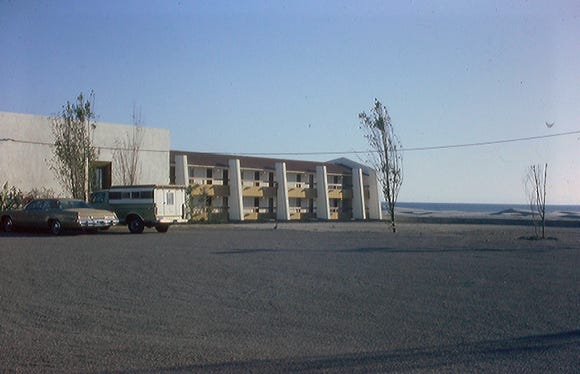
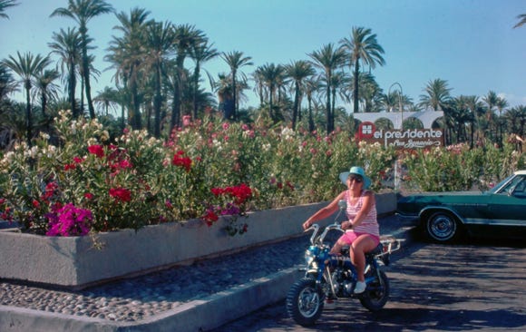
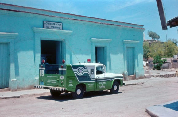
Continuing along Highway 1 we arrive at San Quintin and the El Presidente Hotel. The Mexican government plans to build 22 Paradores and El Presidente Hotels along the highway, some of the El Presidente Hotels will have airports nearby. Some of these facilities will have RV parks, restaurants, gas stations, and hotel accommodations.
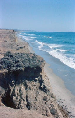
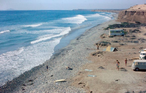
San Quintin is in the middle of a large agricultural area, known for growing strawberries and tomatoes. Our next stop was at El Socorra Beach a favorite area for great surfing, it is about 16 miles south of San Quintin.
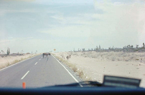
Along the highway burros cross the road as we continue to El Rosario. El Rosario is a small town 36 miles south of San Quintin and is famous for Mama Espinosa’s lobster tacos and a stopping point for the racers in the Baja 1000. Mama Espinosa has been here for over 30 years before Highway 1 was paved in 1973. In the 60’s El Rosario became a checkpoint for the Baja 1000 off-road race, and Mama Espinosa’s was a must-stop.
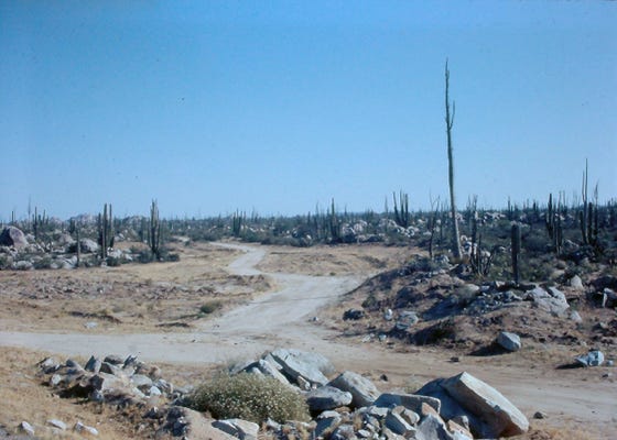
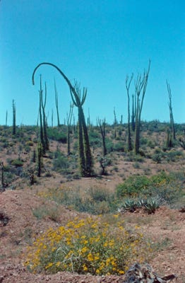
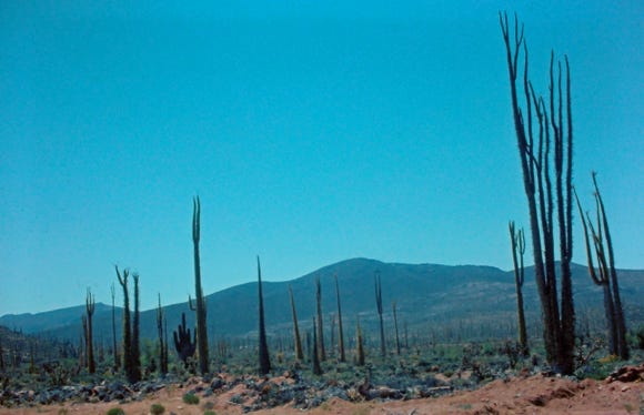
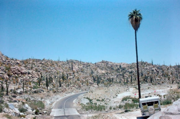
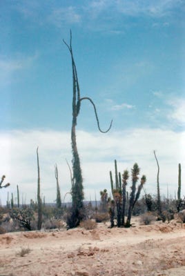
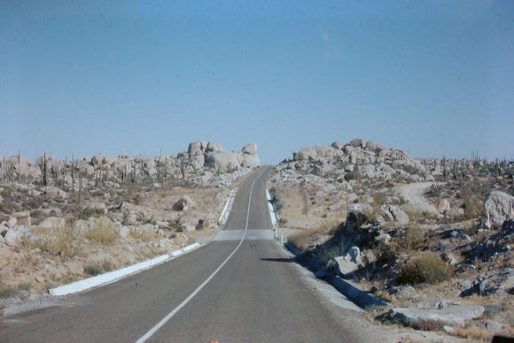
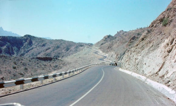
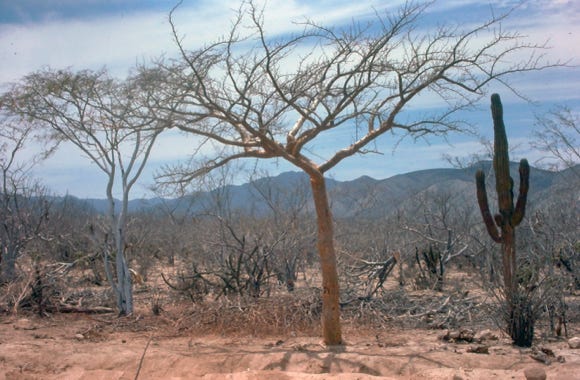
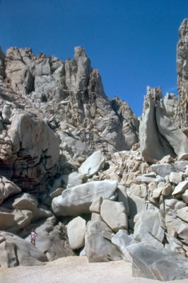
As we leave the Pacific Coast side of El Rosario crossing over the mountains to Bahia De Los Angeles, we enter Catavina, 76 miles south of El Rosario, which is another one of those special places in Baja. As we drove the highway we saw thousands of magnificent, building-size boulders and gigantic rock formations, this area is known as Baja’s rock garden.
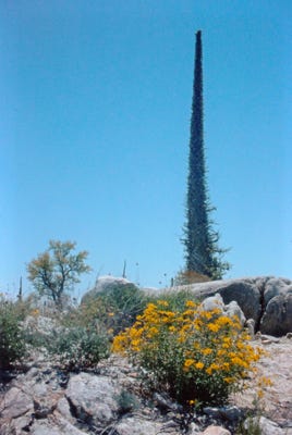
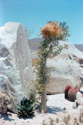
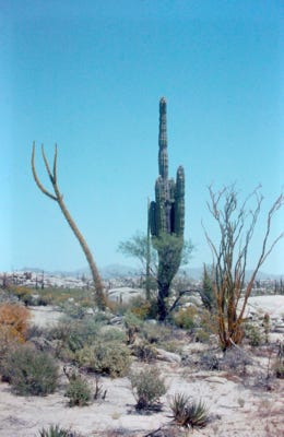
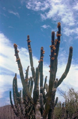
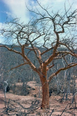
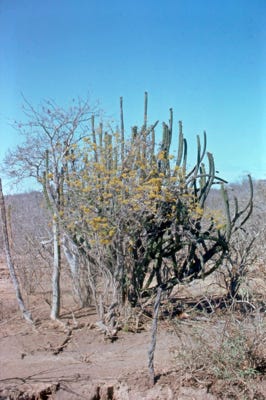
Southern Baja California, in the Central Desert, also known as the Catavina Desert, is a place called the Valley of the Cirios, a cactus sanctuary. Hundreds of cirios live in the area. They can grow up to 60 feet high, they grow three feet every 27 years and can live for over five years without rainfall. In this reserve, specimens of 100 years of age have been found.
The Cardon is the biggest cactus in the world. Those that grow in the Valley of the Cirios have reached heights of up to 50 feet, although the tallest are found in the Valley of the Giants, in San Felipe, Baja California. These can reach up to 63 feet high and have roots with a radius of 98 feet. When they are 75 years old, their first arm sprouts. They can live for over 300 years although some sources assert to have registered millennial cardons.
Since 1980, the valley has been declared a Flora and Fauna Protected Area where impressive cacti species live: Mexican giant cardon, cirios, and Baja elephant trees. This protected area also protects several endangered animal species, like the bighorn, and pronghorns (one of the fastest creatures on Earth), mountain lions, coyotes, owls, eagles, and many snakes.
Cirios is not a cactus but a tree and looks like an Ocotillo. Cirios also known as Boojum trees.
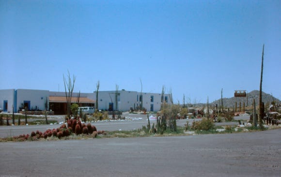
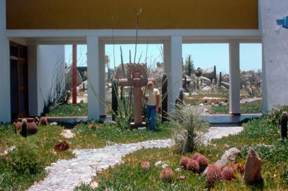
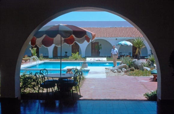
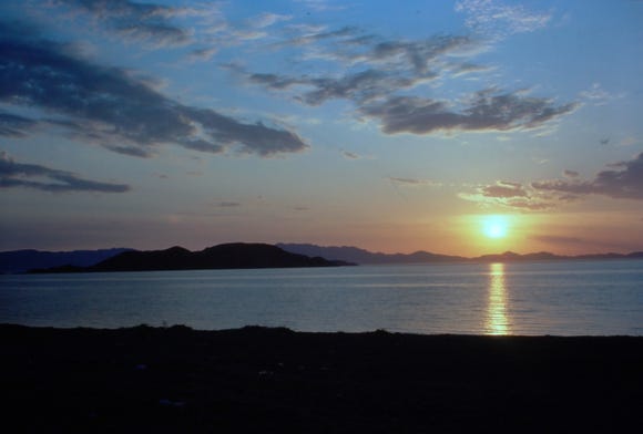
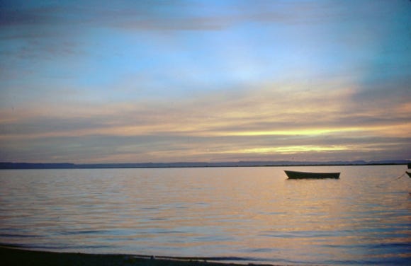
We stopped at the Parador Punta Prieta Hotel which has 50 spaces with full hookups and viewed the grounds of the hotel and a beautiful sunset at night.
This is a small town with limited facilities.
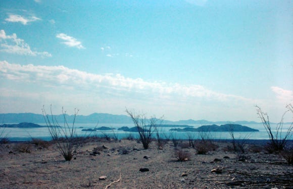
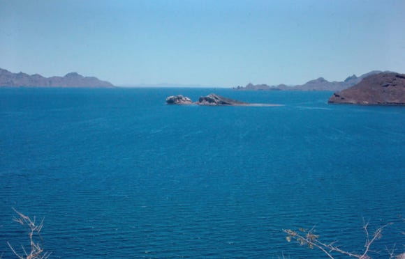

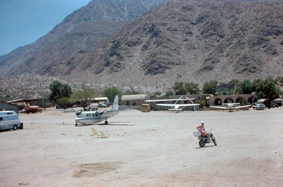
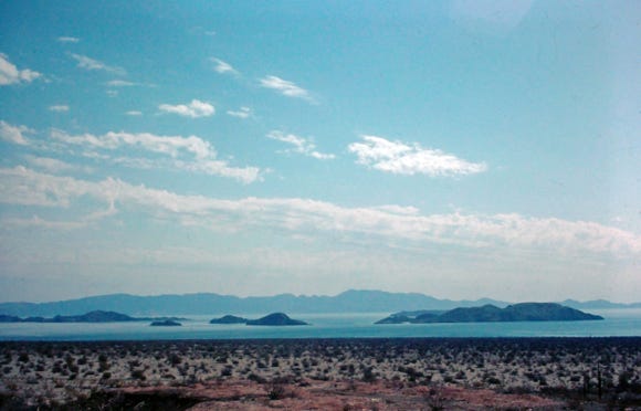
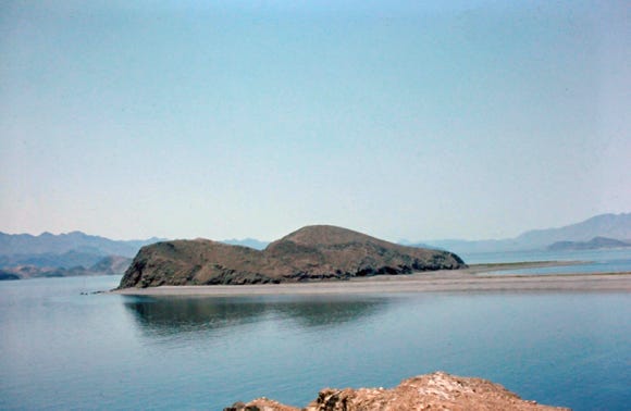
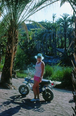
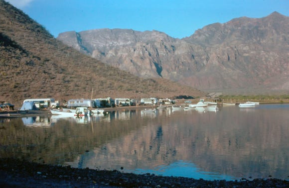
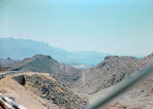
At Punta Prieta is the turn-off to Bahia de Los Angeles (Bay of LA), this is the first view of the Gulf of California aka Sea of Cortez, and a great view of Baja. Driving the mountain road along the desert we saw the tall cirios and cardon cactus. There are sixteen islands in and around the bay to explore. A photo of the Casa Diaz motel and restaurant. This was a fly-in resort with its runway in front of the motel.
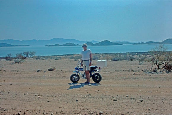
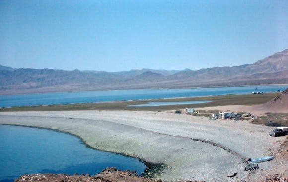
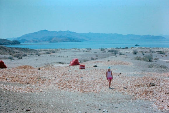
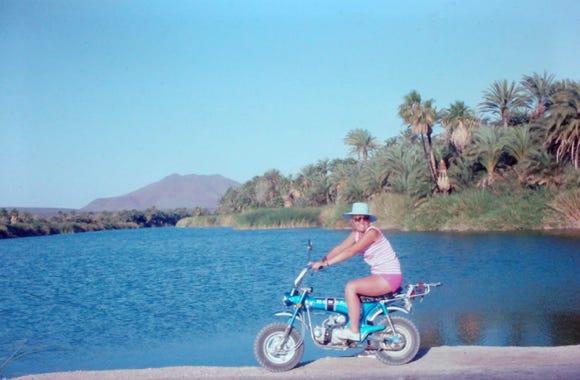
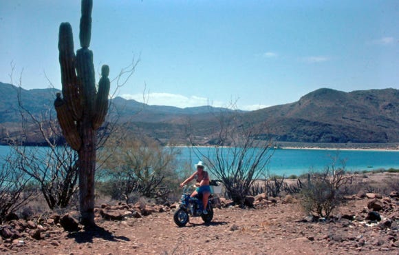
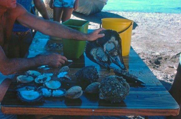
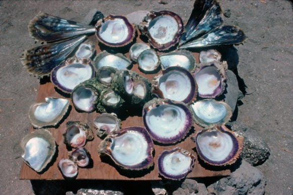
We spent several days there taking our Honda Trail 70 motorbike around the area and saw many campers on the beach with their boats on the shoreline. You can see Nancy standing on a large area of shells. These are the shells of the Mexican Bay scallops and are harvested in several locations throughout the states of Baja California and Baja California Sur.
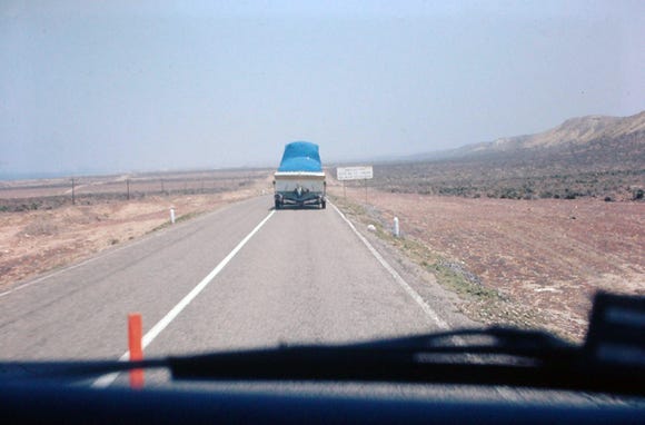
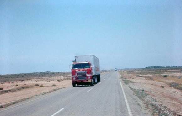
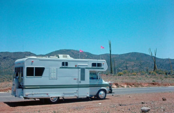
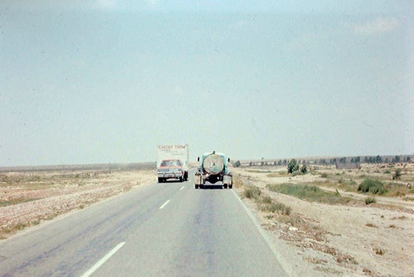
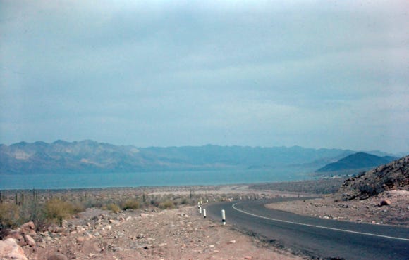
Leaving the Bay of LA we go back on Highway 1 heading south to Guerrero Negro on the Pacific Ocean side of the peninsula. As you can see the highway is narrow with many large trucks and trailer rigs.
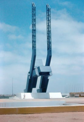
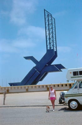
Bill, Nancy, and Lady standing in front of the 140-foot monument of a giant Eagle made of steel mark the 28th parallel and the border of the two Baja states, Baja California (Norte) and Baja California Sur, just north of the town is Mountain time and going south is one hour ahead.
Guerrero Negro is cold and windy, but from January through April the gray whales come to the lagoons to give birth. West of Guerrero Negro is Laguna Guerrero Negro, and south is Laguna Ojo de Liebre or Scammon’s Lagoon. These are the first lagoons that the gray whales have a chance to visit on their long 6,000-mile journey from the Bering Sea.
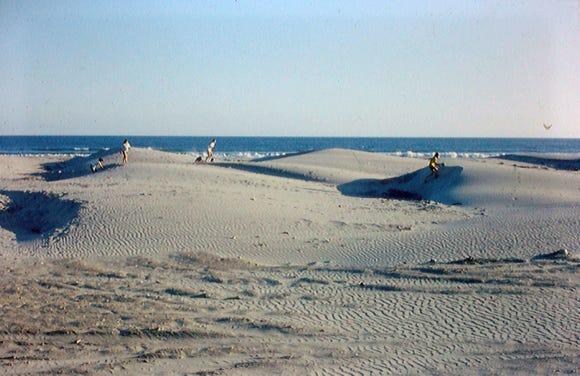
In Guerrero Negro is the salt mine the largest evaporative salt production facility in the world and it produces seven million tons of salt each year covering an area of over 65 square miles. Also is the La Soledad Dunes a large dune devoid of any vegetation.
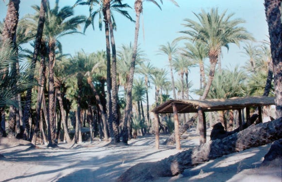
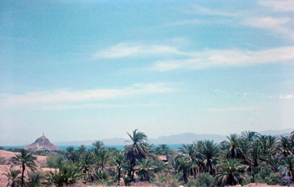
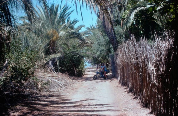
San Ignacio is an oasis of date palms and citrus orchards. A whale skeleton on Highway 1 marks the halfway point on the long drive from Tijuana to Cabo San Lucas and the turnoff to the small town of San Ignacio.
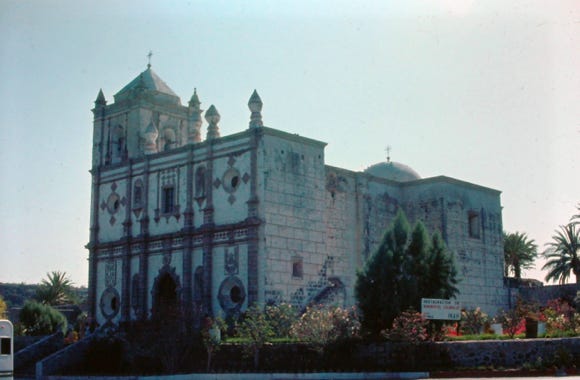
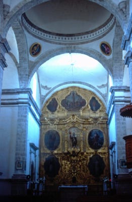
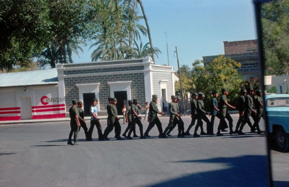
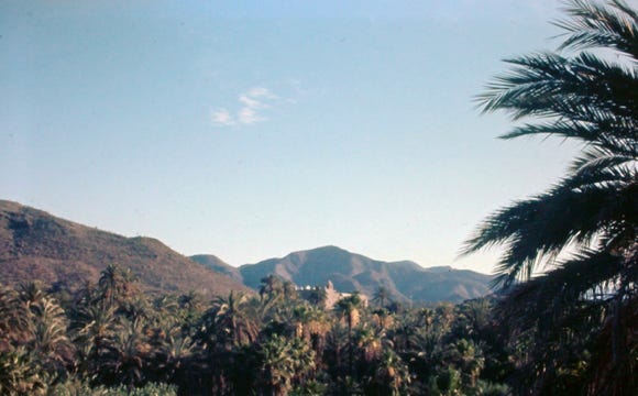
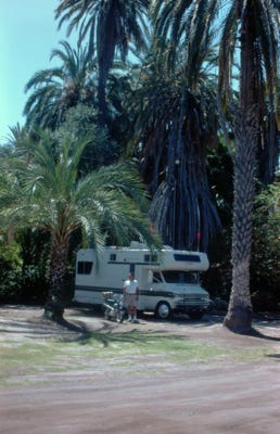
Nancy is on the motorbike in front of the El Presidente Hotel in San Ignacio as they tour the area. The famous Mission San Ignacio de Kadakaaman was rebuilt in 1786 and was constructed entirely of volcanic rock. In the town square, we saw the Mexican military marching.
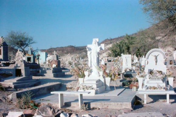
On the shores of the Rio San Ignacio, and is one of two rivers in the entire state of Baja California Sur, and the palm grove and cemetery.
San Ignacio is another area to drive to explore the Laguna San Ignacio, on the Pacific Ocean to see the California gray whales from December to April, and is one of the best viewing areas.
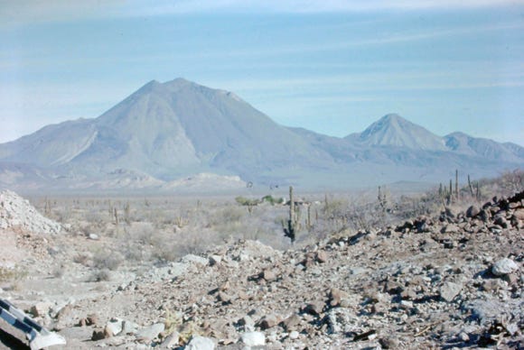
Leaving San Ignacio we drive the road to Santa Rosalia on the Gulf of Mexico. We take a photo in the distance of Tres Virgenes; three volcanoes located around Mulege in the state of Baja California Sur. El Viejo is the oldest, in the middle, is El Azufre and the youngest is El Virgen with a height of 6,300 feet.
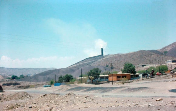
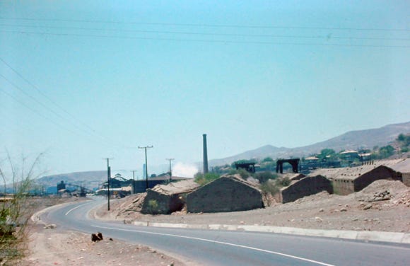
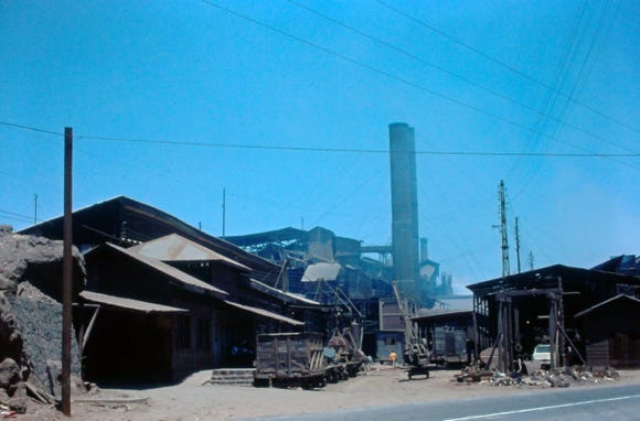
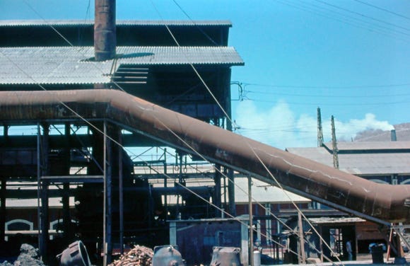
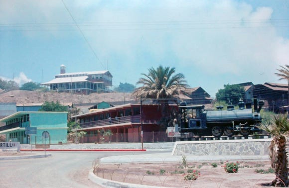
Santa Rosalia was known for its copper mine, copper was discovered in the 1880s and a French mining company bought the mineral rights and drilled hundreds of tunnels. They built a smelting foundry, and a railroad to haul the ore and a pier from which they shipped the smelted ore to Washington State to be refined.
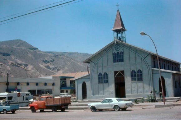
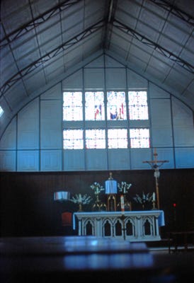
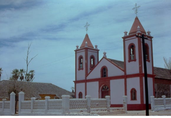
As you go into the town you will see the Santa Rosalia church, famous for being designed by Alexandre Gustave Eiffel who designed and built the Eiffel Tower. The prefab iron church was shipped from Europe in sections and then rebuilt in Santa Rosalia in 1897.
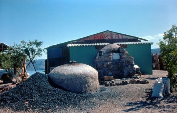
In town, we went to the French bakery, Panaderia El Boleo, and bought some excellent baguettes and pastries, the establishment has been in business since 1901.
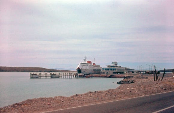
At Santa Rosalia is a ferry terminal to Guaymas to take travelers to mainland Mexico.
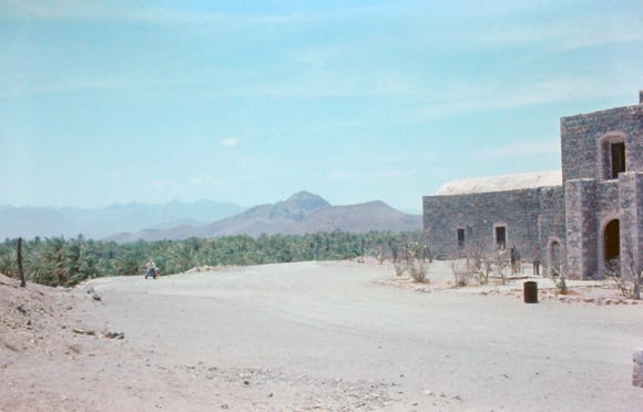
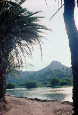
Leaving Santa Rosalia we arrive at Mulege located on the shores of the Sea of Cortez, and along the Rio Mulege.
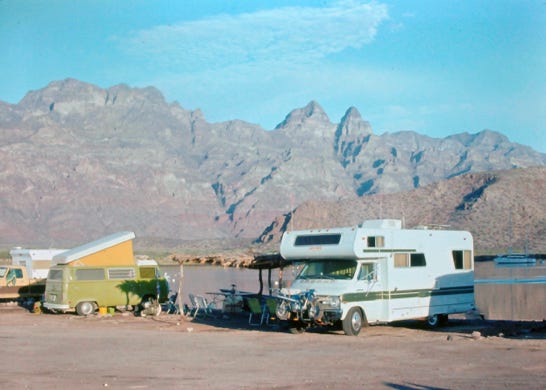
This is a popular spot for RV’s from all over the U.S. and Canada and many have made this their permanent home. The Rio Mulege is one of the only two “real” rivers in all of Baja California Sur.
The territorial prison was built on the hill in 1907 and allowed inmates to leave in the morning to work earning minimum wages, but at 6 PM a horn would sound, and they had to return to the prison and the guards checked them in. In 1975 it became a museum.
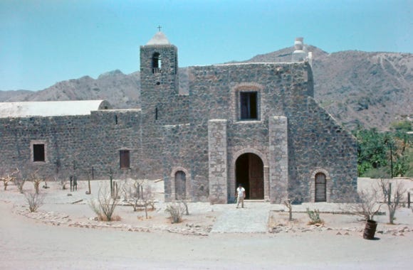
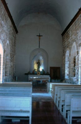
The mission Santa Rosalia de Mulege construction started in 1668 and was completed in 1705, making this the second oldest mission in Baja. Built by local stone in the area. As you drive down the highway, you may see a green truck going at a slower speed to be able to stop to help people traveling down the road. They are called “The Green Angels,” a patrol service for tourists and others if they break down on the highway or if an accident occurs.
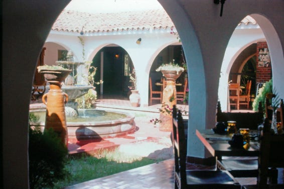
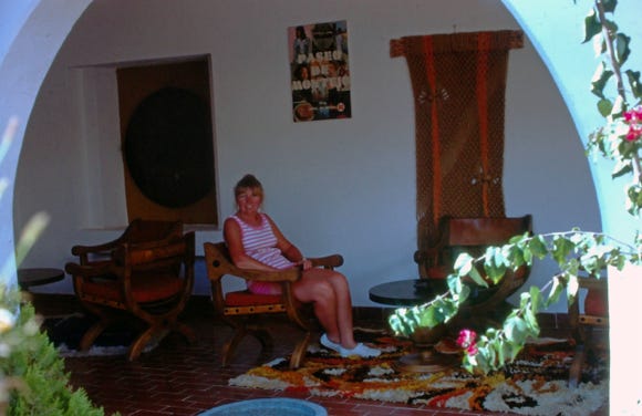
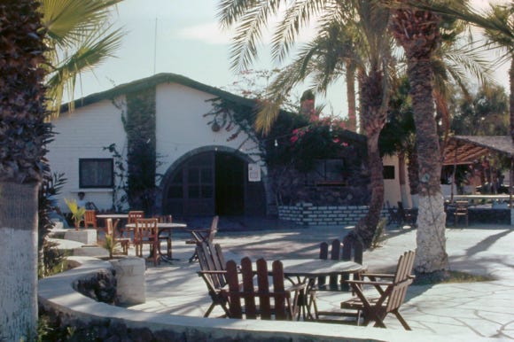
The famous Hotel Serenidad on the banks of the Mulege River was established over 50 years ago and was an area that was only accessible by aircraft before there was a paved road. John Wayne and other Hollywood stars frequent the area for the famous pig roast on Saturday nights that started over 45 years ago by Don Johnson (not the actor) and his wife Nancy, the hotel’s owners then.
We were lucky that we were in Mulege on the weekend, and we took our motorbike to the hotel for the pig roast, along with Margaritas, mariachi music, and great food it was a great evening. As we were biking back at night along the narrow road it was very dark and a dog came out and was chasing us on the motorbike. Luckily we made it safely back to the RV for the night.
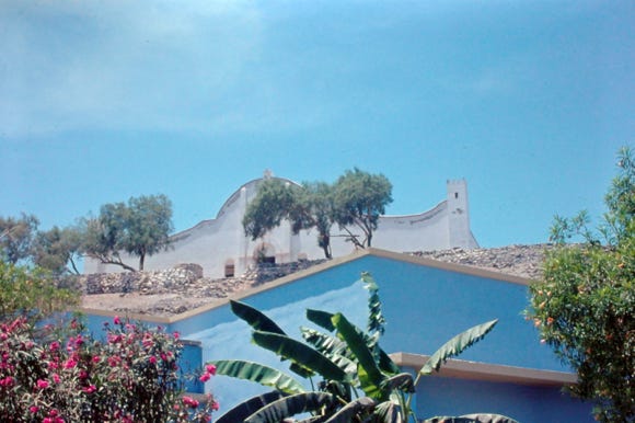
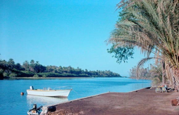
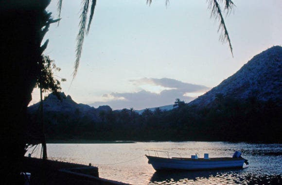
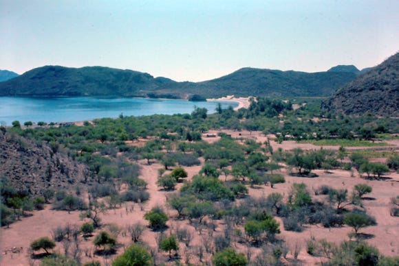
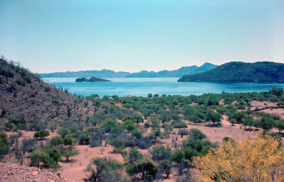
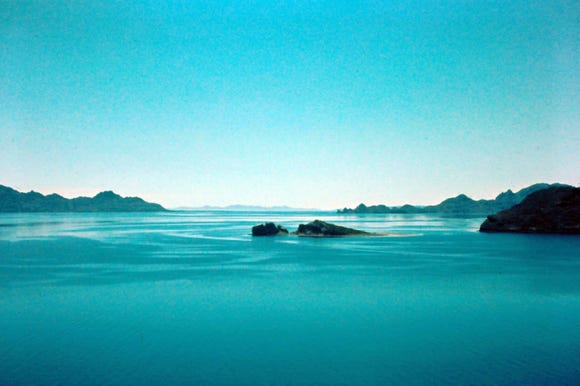
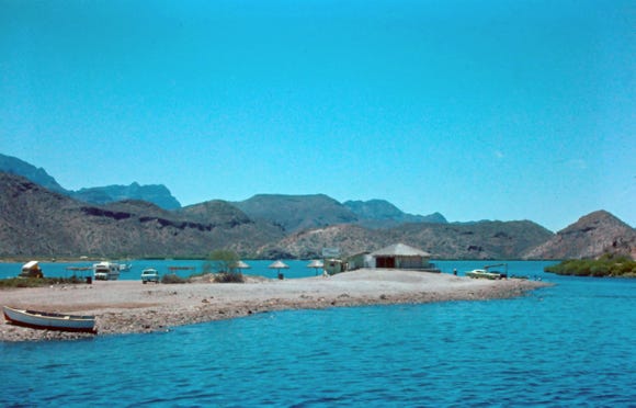
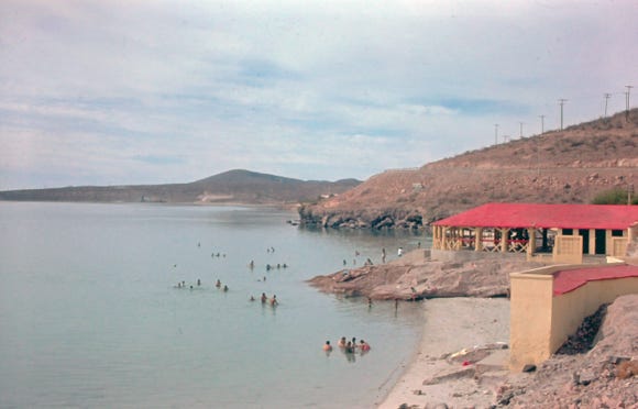
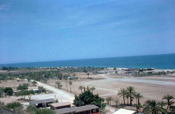
Mulege is the gateway to Bahia Concepcion, a large bay within the Sea of Cortez. The 20 miles of highway that hugs the coast is spectacular and worth a drive to the bay.
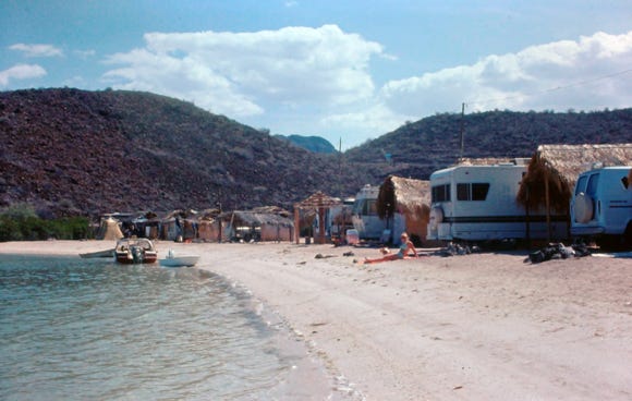
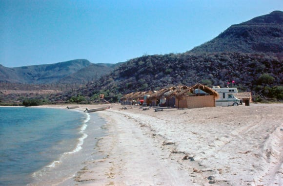
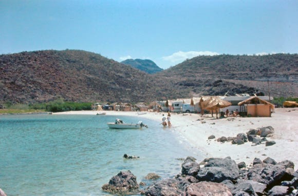
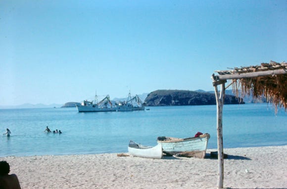
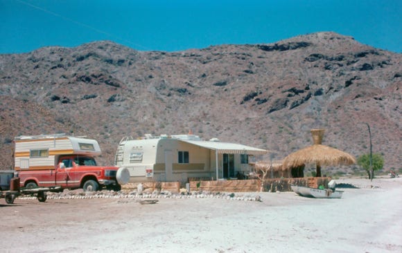
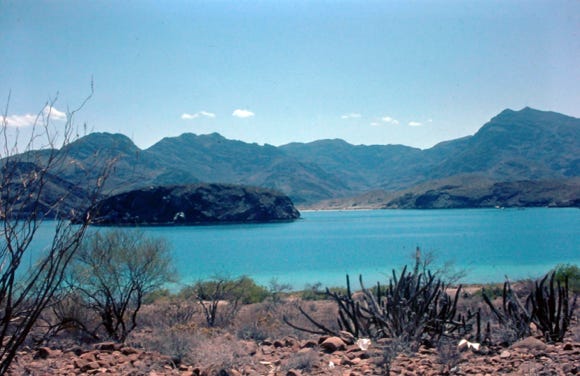
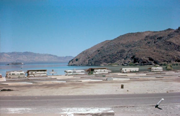

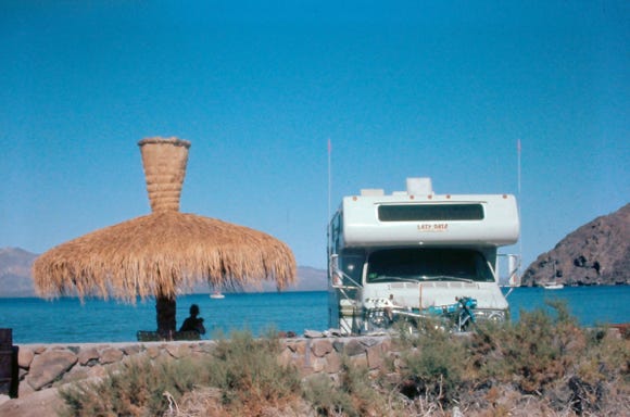
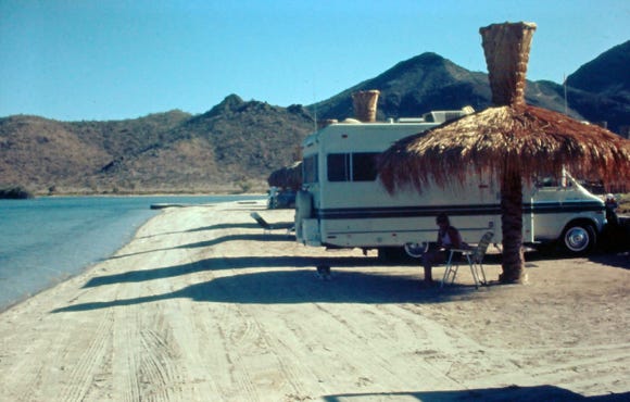
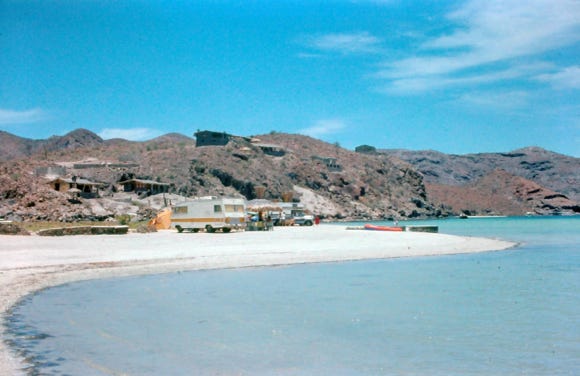
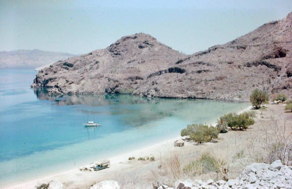
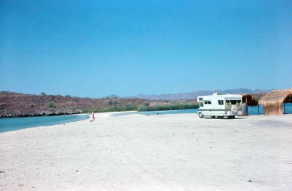
Have you ever just traveled to spots taking in the sites, museums, and attractions, and just wanted a break, a place to stop and spend several days doing nothing? Well after driving the highway with its narrow roads, we finally made it to Bahia Concepcion. Bahia Concepcion is south of Mulege and 625 miles south of the Tijuana border.
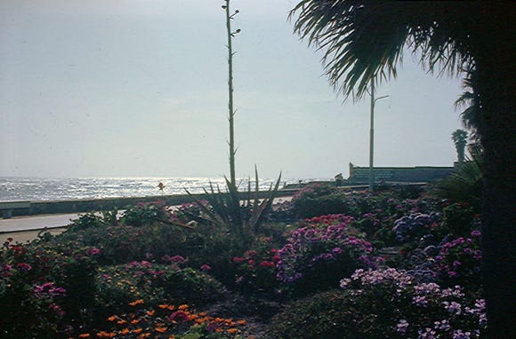
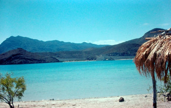
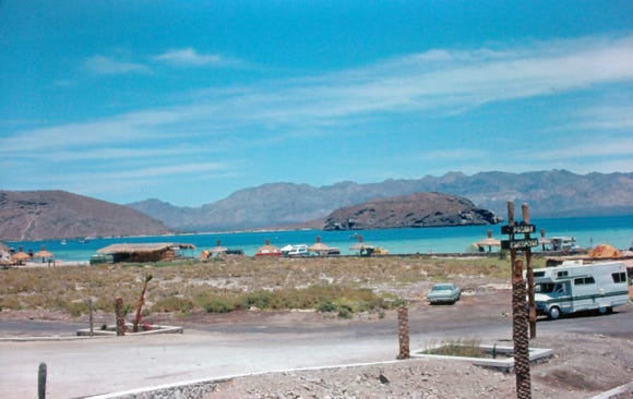
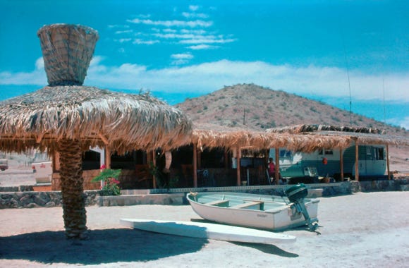
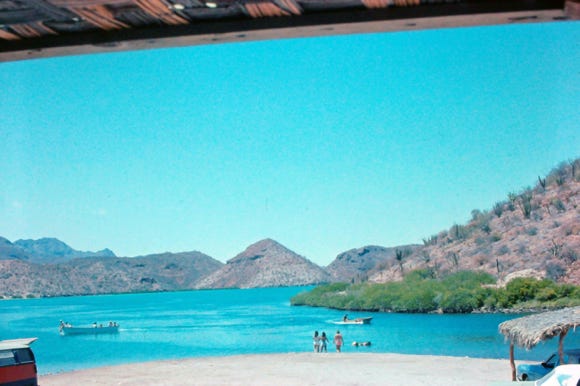
Just driving into this beautiful spot made the trip worthwhile. We spent several days there relaxing, fishing, and sightseeing. You can see homes being built along the area, and this is considered to be one of the finest beaches in all of Baja.
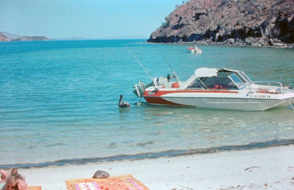
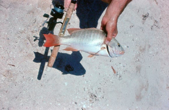
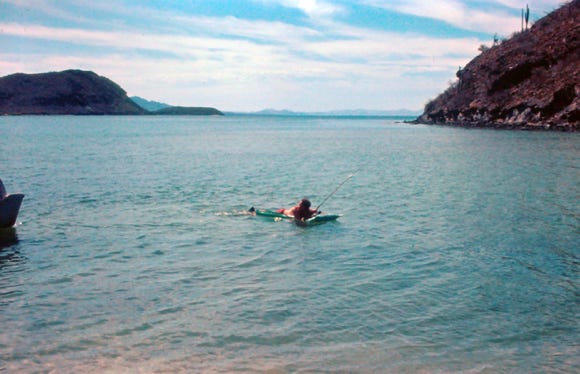
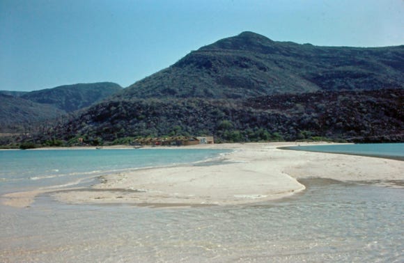
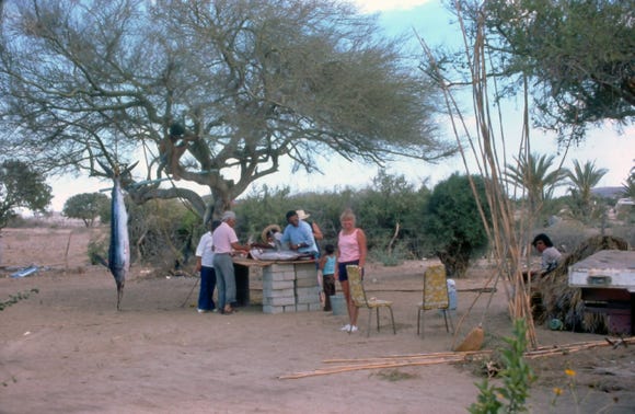
One of the first beaches you will come to is Playa Santispac where Bill caught a nice red snapper; you can see him on a float trolling for fish. Shrimp boats offshore will come into the area and sell shrimp; we got three pounds of shrimp for $5.00. Several times we took our motorbike and went to the bakery to get homemade sweet bread, it was excellent.
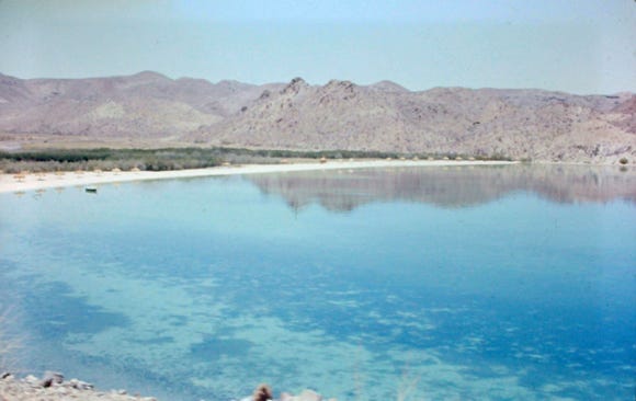
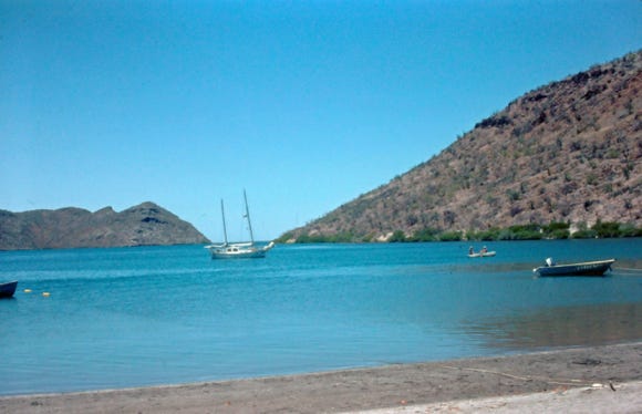
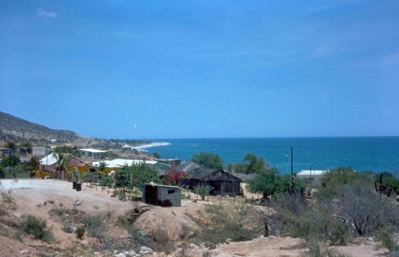
Posada Concepcion is a private community with homes, a restaurant, and RV facilities, other beaches include El Burro, Playa El Coyote, and Isla El Requeson. A beautiful beach and at low tide reveals a sand spit.
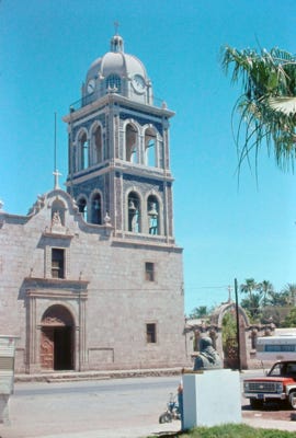
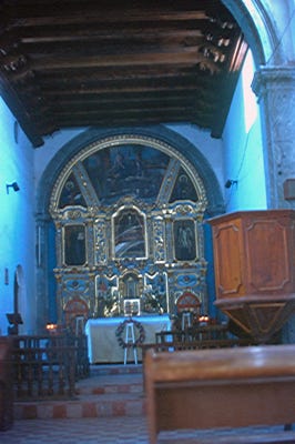
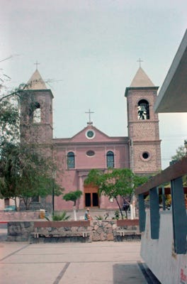
Arriving at Loreto is the oldest permanent settlement in Baja dating back to 1697, when the mission Nuestra Senora de Loreto was founded. The mission took 55 years to complete and is considered one of the most beautiful of all of the Baja California missions.
Photos of the Famous Flying Sportsman Lodge and a person with a dorado fish and a sea turtle.
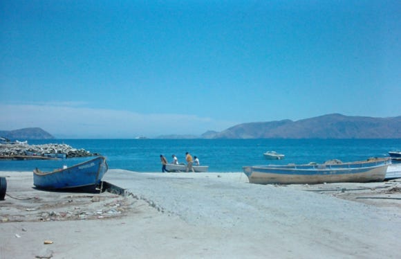
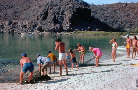
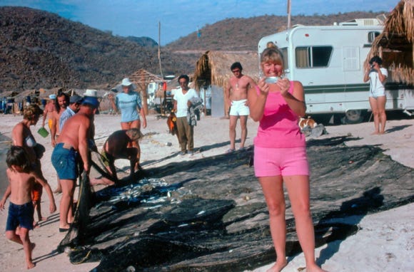
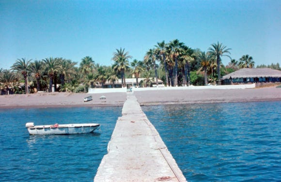
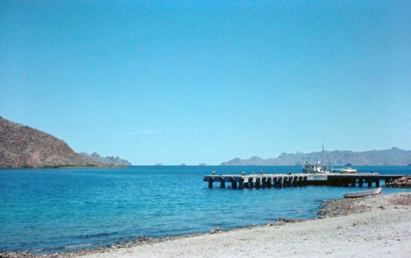
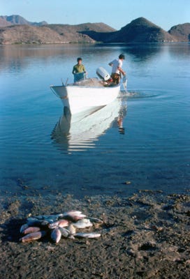
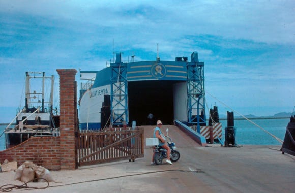
From Loreto we drove to another great spot called Puerto Escondido (Hidden Harbor) which is south of Loreto, we camped on the beach and went diving for sea scallops, clams, and caught triggerfish. A local Mexican fishing for snapper with photos of the fish that they caught.
The pier was built for access to provide ferry service to expand the area but during that time in the 70’s it never succeeded.
Back on Highway 1, we pass the towns of Villa Insurgentes and Ciudad Constitucion. Ciudad Constitucion is the turn-off to San Carlos and Magdalena Bay which is the southernmost whale birthing ground in Baja.
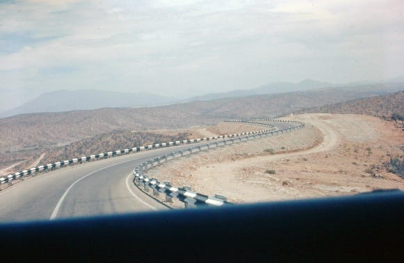
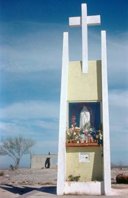
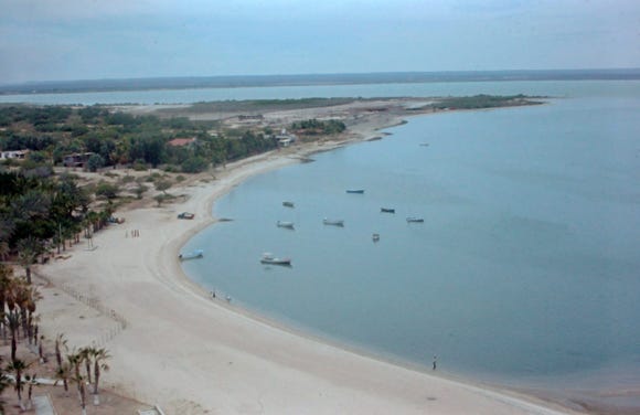
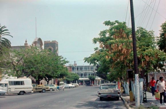
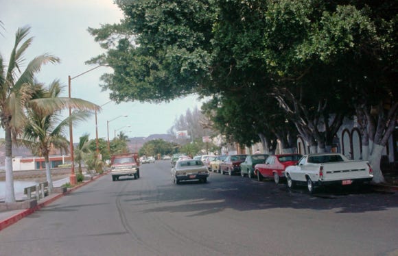
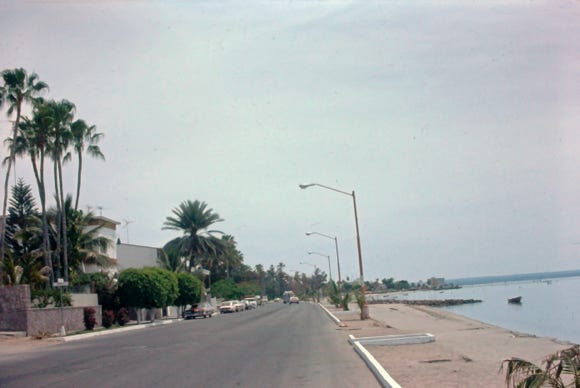
You can see the road as we go over the mountains to La Paz. Approaching the high bluff is a teepee-shaped shrine, and the Gulf of California and La Paz Bay come into view. La Paz is on the Sea of Cortez and is the capital of the state of Baja California Sur and the largest city in southern Baja.
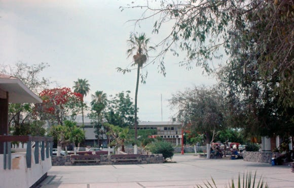
A few blocks away is the town square, Plaza Constitucion with a nice park and a lot of benches. The beautiful Our Lady of Peace Cathedral in La Paz.
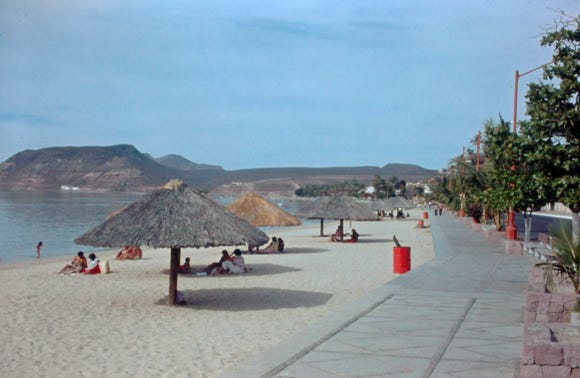
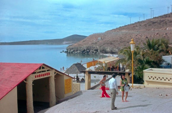
The Malecon is lined on the bay side with small beaches, sculptures, statues, and lots of benches. We ride our motorbike along the Malecon road to El Coromuel beach a popular place among locals to spend the weekends under the Palapas, along with very good public restrooms.
Going further south we arrive at the port of Pichilingue which is the terminus of the ferry routes from Mazatlan and Topolobampo.
As we leave La Paz going south on Highway 1 we go through the mining town of El Triunfo where gold and silver were discovered in 1862, but the first mine was in production in the 1700’s. In 1878 the mine was taken over by the British El Progreso Mining Company and became more successful.
Once the largest town in Baja California Sur with a population of over 10,000 people during the mining days, the mines closed in 1926. The smokestack over 115 feet tall was designed by Gustave Eiffel, the builder of the Eiffel Tower. A photo of the mission-style church in town.
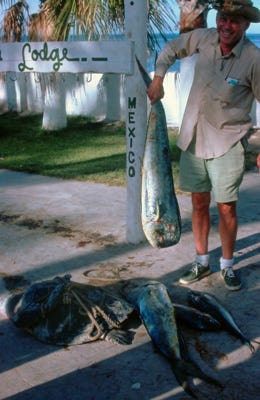
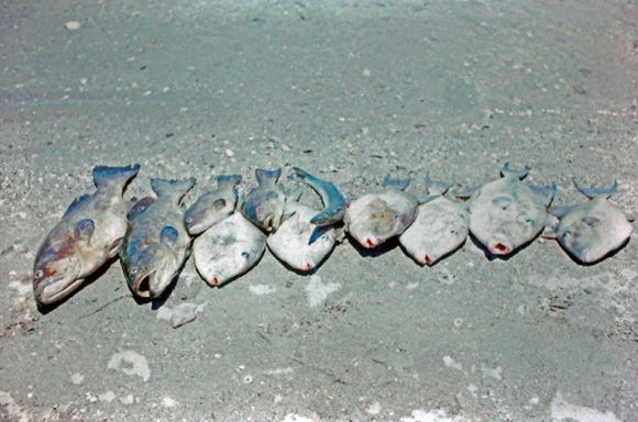
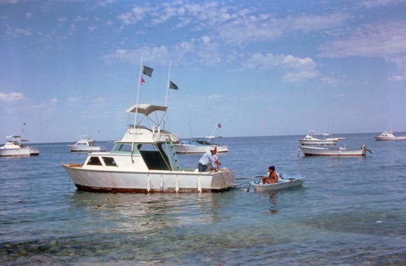
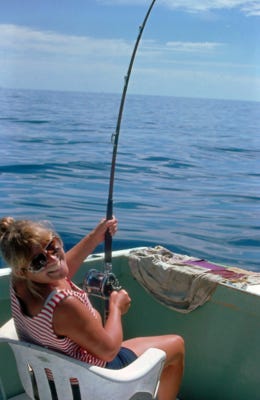
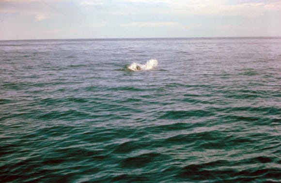
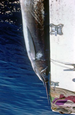
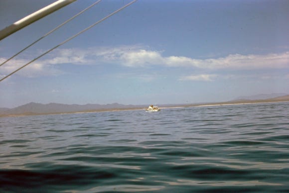
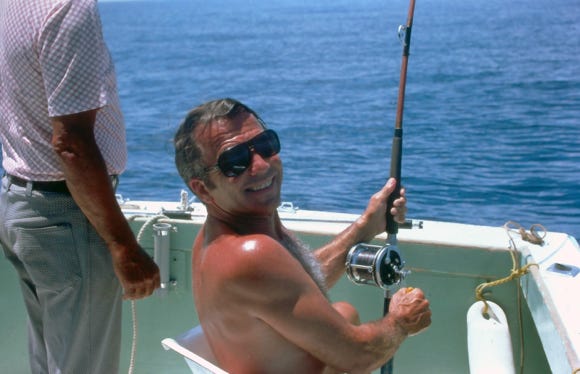
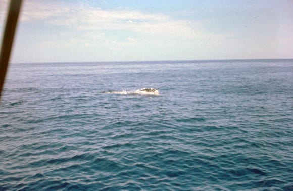
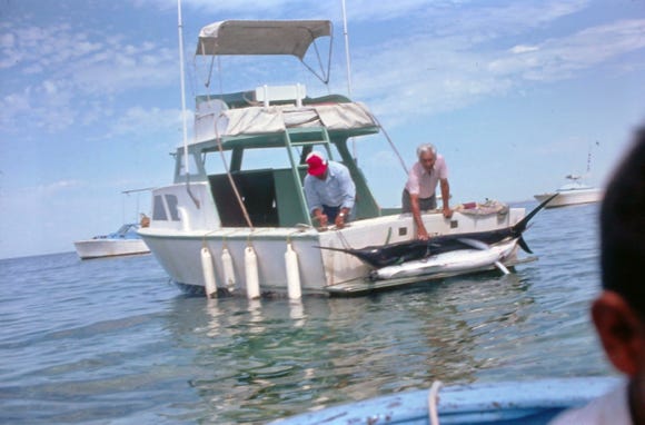
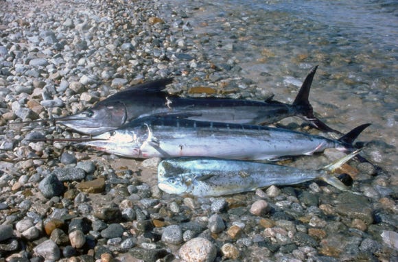
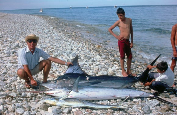
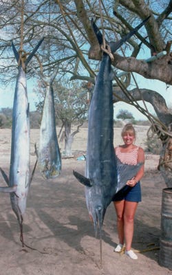
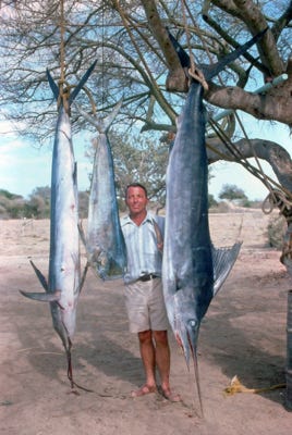
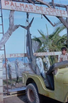
We arrived at Los Barriles and found a campsite without hookups at Playa Hermosa Trailer Park. We booked a guide to take us out fishing for marlin, sailfish, and dorado. We had to leave Lady in the RV but had fans on using battery power to try to keep her cool. We were in May and temperatures can be very warm and humid.
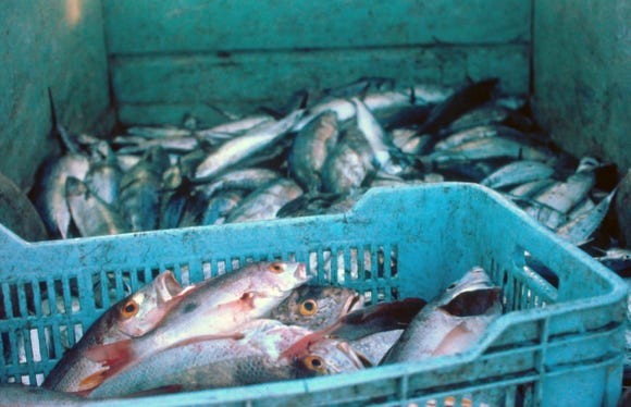
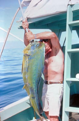
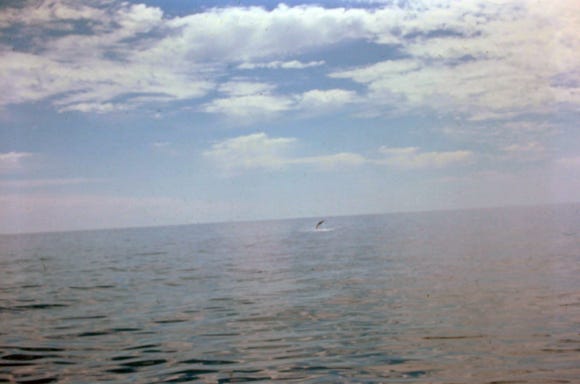
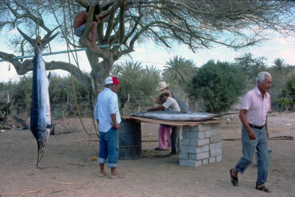
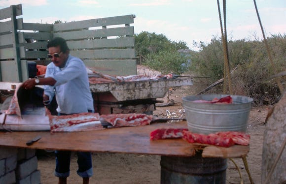
The next day we got on the boat and as you can see from the photos we caught a nice dorado, a marlin, and a sailfish. We got back on shore, and the crew proceeded to clean the fish, filleting the meat off of the fish and we took what we wanted to put in the freezer to have fish during our trip. The rest of the fish went to many families in the area and so it was not wasted.
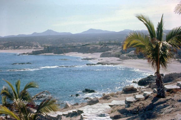
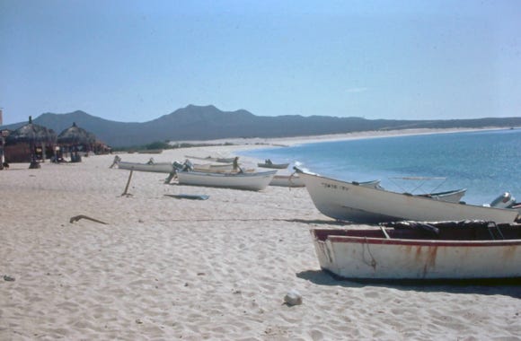
The East Cape is the entire eastern (Sea of Cortez) side of the Baja peninsula from Punta Pescadero (just north of Los Barriles), south to the eastern edge of San Jose del Cabo.
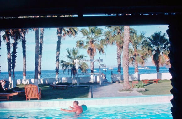
East Cape tourism got started in 1952 when the Rancho Buena Vista Hotel opened as a fly-in fishing resort, there is a runway next to the hotel and it became a regular vacation stop for the Hollywood elite.
The abundant sport fishing is what started it all and remains the main tourism draw for marlin, sailfish, dorado, Sierra, grouper, tuna, and more.
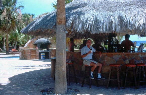
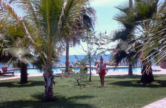
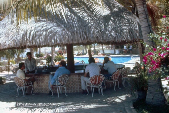
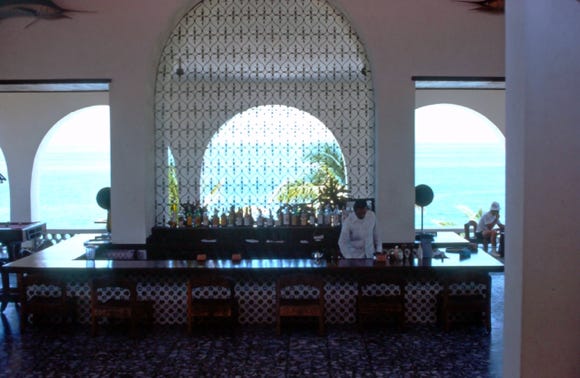
Here, we are at the Hotel Palmas De Cortez in Los Barriles, having a beer; of course. As you can see by the photos during the time we were there it was not crowded and the beaches were deserted.
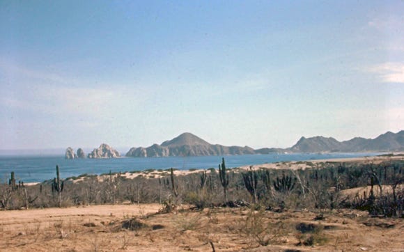
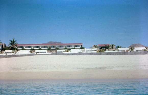
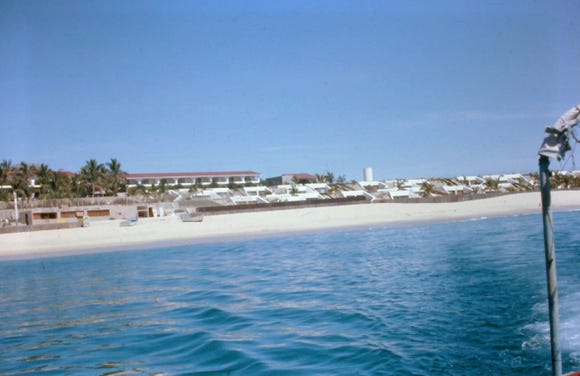
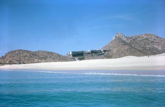
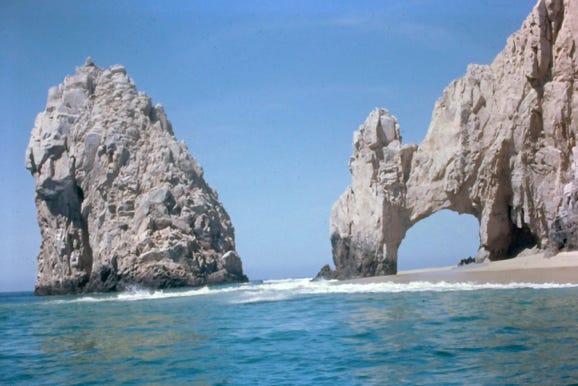
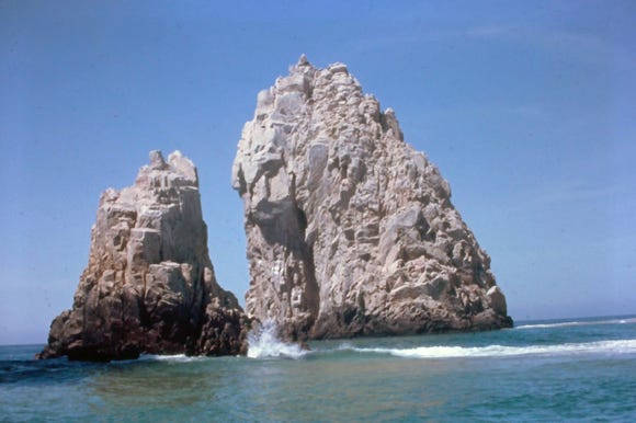
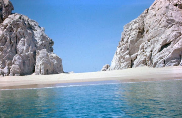

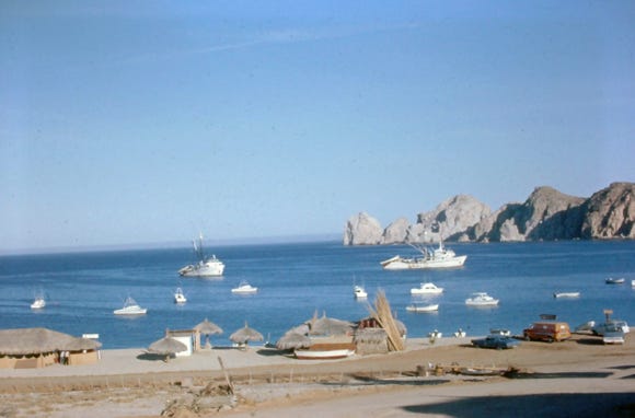
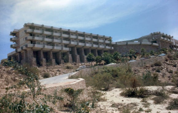
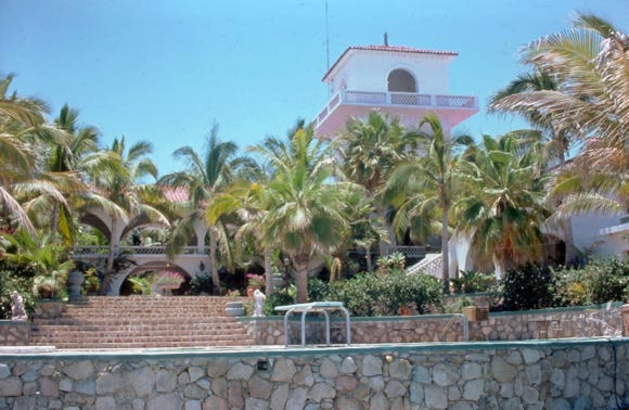
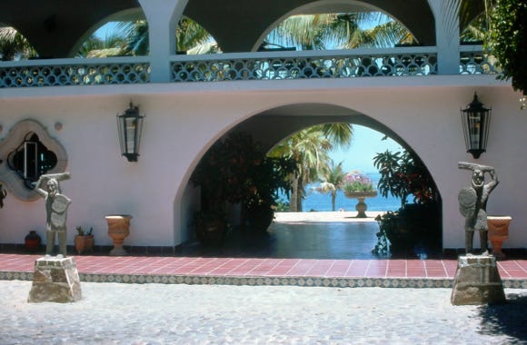
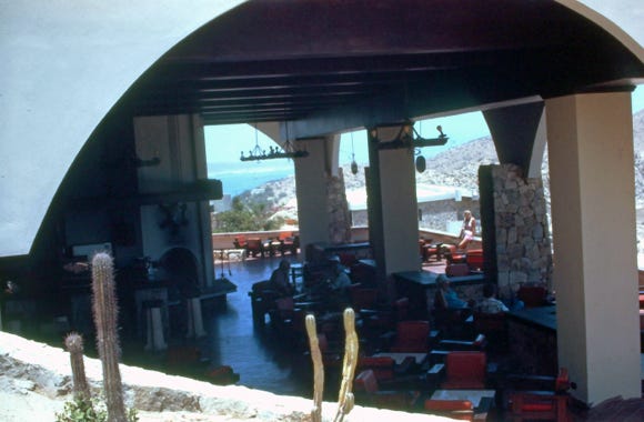
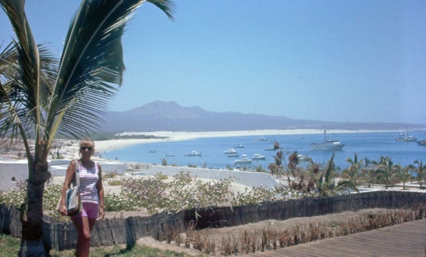
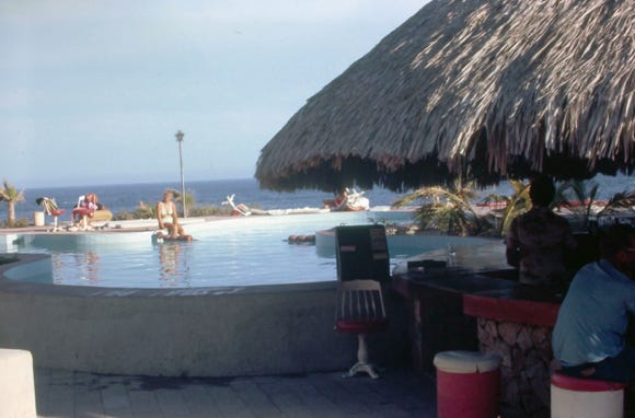
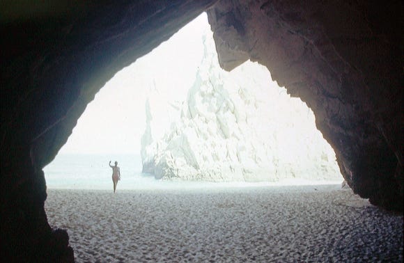
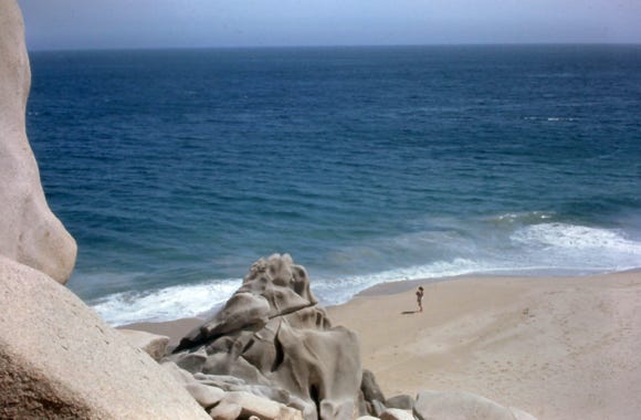
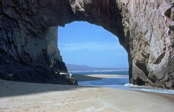
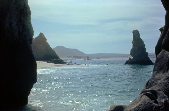
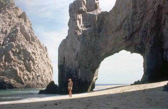
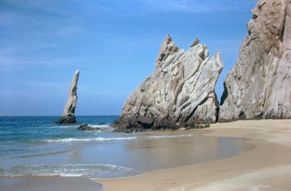
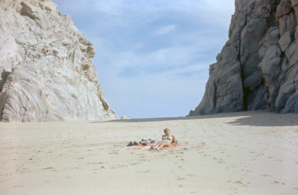
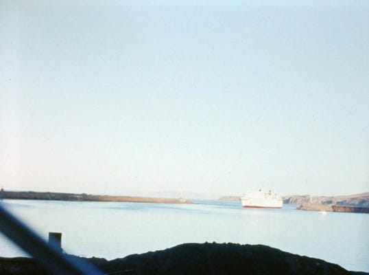
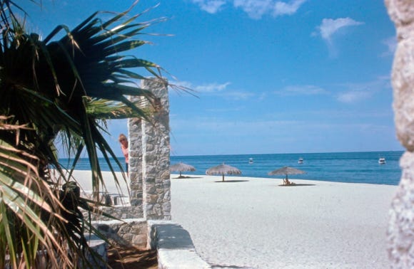
Continuing south on Highway 1 we approach San Jose Del Cabo and drive the shoreline to El Arco Trailer Park. The next day we hired a guide to take us by boat to Land’s End and from the shoreline you can see Hotel Camino Real, and Hotel Finisterra at a distance at Land’s End.
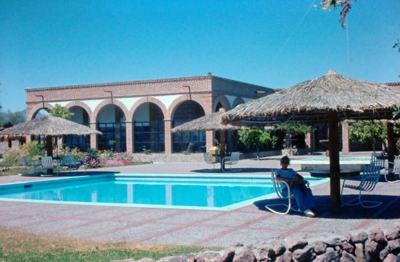
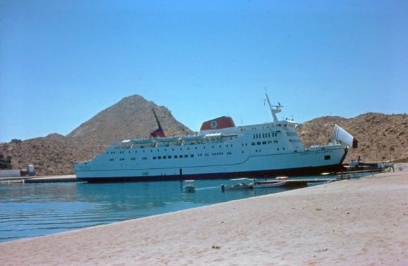
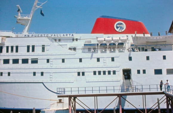
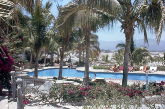
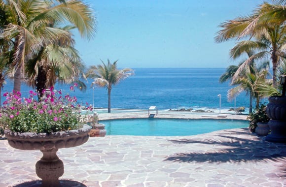
Back on shore, the MV Puerto Vallarta ship is docked at shore at Bahia San Lucas. Several views of the shoreline and Hotel Camino Real. We drove to Hotel Finisterra and Hotel Palmilla where Nancy was sitting at the edge of the pool. Hotel Palmilla at that time was the most luxurious hotel where President Eisenhower stayed as well as Bing Crosby.
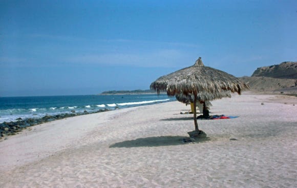
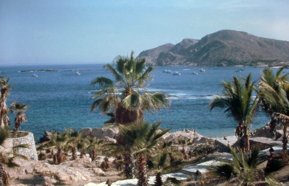
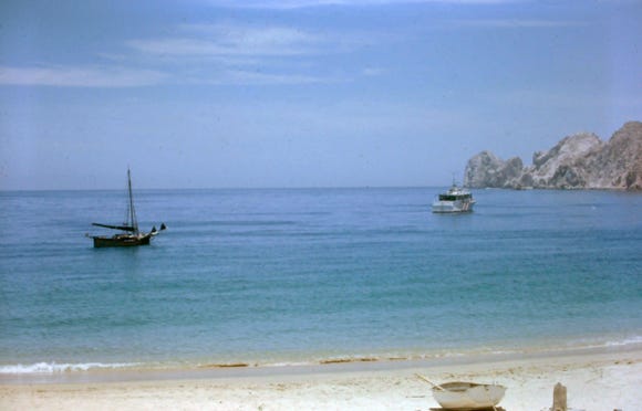
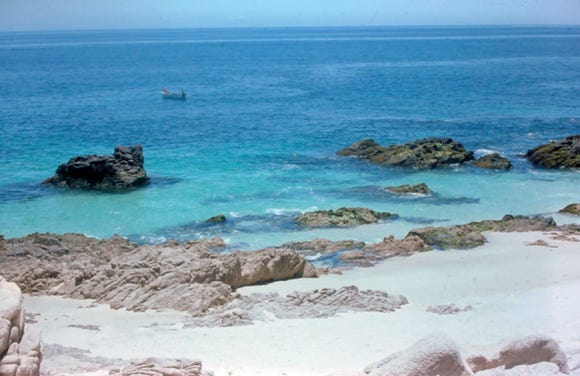
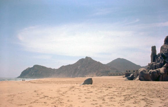
Our final thing to do was to walk on the beach at Land’s End, take a swim, and lay on the sandy beach, an end to a great trip down the Baja Highway.
Our Next Trip - Alaska 1978
Now come and follow us as we travel to Alaska in 1978, driving the Alcan Highway. Since we just ended this trip at “Land’s End,” on the Baja Highway we will be arriving at the southernmost point of the Sterling Highway in Alaska. This is at Homer on the north shore of Kachemak Bay on the southwestern edge of the Kenai Peninsula.
The world-famous Homer spit is 4.5 miles long, the gravel bar is the world’s longest road into ocean waters, and was named one of the best 100 beaches in the U.S.